


0
Ascents

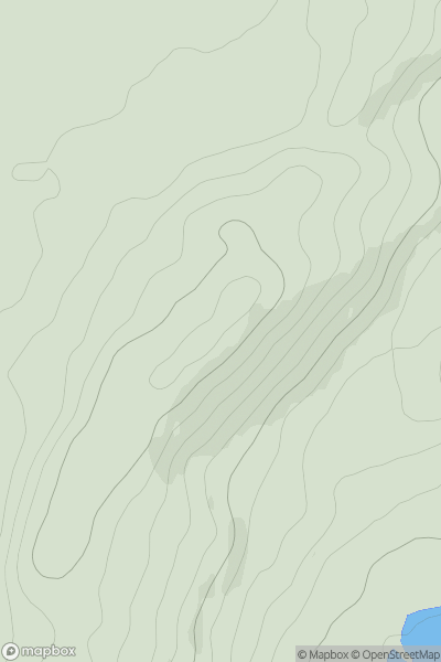
 Central Scotland from Dumbarton to Montrose
 0
0 219.0
219.0User Activity
No recent Activity
0
Ascents
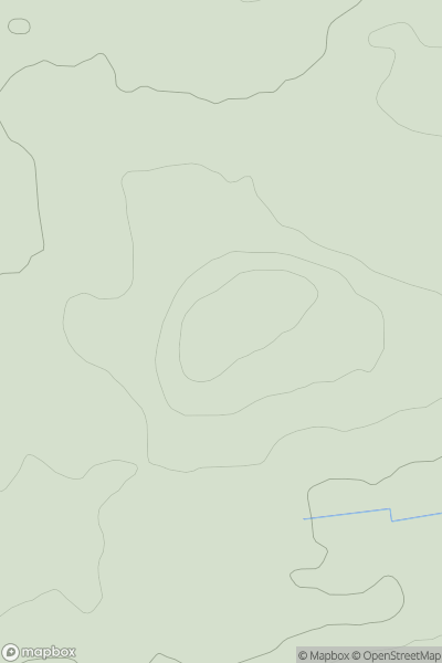
Central Scotland from Dumbarton to Montrose
0
240.0User Activity
No recent Activity
0
Ascents
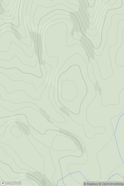
Oban to Loch Fyne
0
373.0User Activity
No recent Activity
0
Ascents
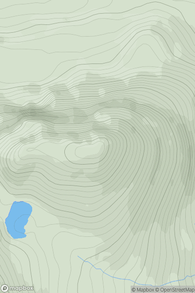
Lochinver to Ullapool
0
587.5User Activity
No recent Activity
0
Ascents
Loch Lochy to Loch Laggan
0
605.9User Activity
No recent Activity
0
Ascents
Braemar to Montrose
0
300.0User Activity
No recent Activity