


0
Ascents

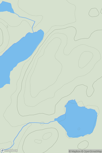
 Ayr to the River Clyde
 0
0 283.0
283.0User Activity
No recent Activity
0
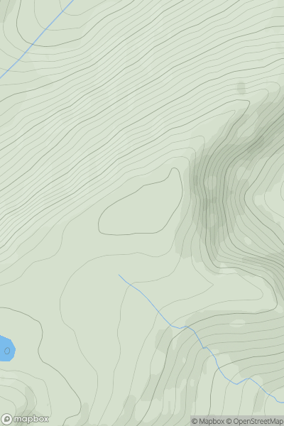
Ascents
Kyle of Lochalsh to Garve
0
580.0User Activity
No recent Activity
0
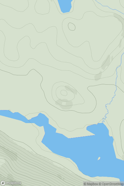
Ascents
Durness to Loch Shin
0
99.0User Activity
No recent Activity
0
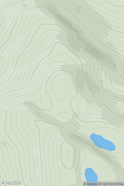
Ascents
Glen Affric to Glen Moriston
0
861.9User Activity
No recent Activity
0
Ascents
Moidart and Ardnamurchan
0
182.0User Activity
No recent Activity
0
Ascents
Glen Albyn and the Monadh Liath
0
716.0User Activity
No recent Activity