

![Thumbnail image for Knock Hill [The River Tweed to the English Border] showing contour plot for surrounding peak](/static/img/mountains_img_db/7435_Knock_Hill_[The_River_Tweed_to_the_English_Border].png)


0
Ascents

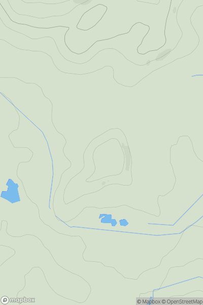
 The River Tweed to the English Border
 0
0 513.7
513.7User Activity
No recent Activity
0
Ascents
Firth of Forth to the River Tweed
0
262.0User Activity
No recent Activity
0
Ascents
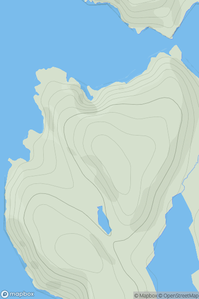
Shetland Islands
0
96.0User Activity
No recent Activity
0
Ascents
Braemar to Montrose
0
148.0User Activity
No recent Activity
![Thumbnail image for Wedder Dod [The Glenkens to Annandale] [NS759215] showing contour plot for surrounding peak](/static/img/mountains_img_db/13130_Wedder_Dod_[The_Glenkens_to_Annandale]_[NS759215].png)
0
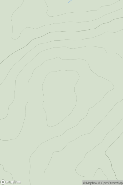
Ascents
The Glenkens to Annandale
0
460.0User Activity
No recent Activity
0
Ascents
Shetland Islands
0
39.0User Activity
No recent Activity