


0
Ascents

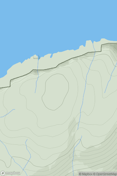
 Canna, Rhum and Eigg
 0
0 211.0
211.0User Activity
No recent Activity
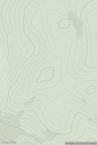
![Thumbnail image for Am Binnein [Loch Treig to Loch Ericht] showing contour plot for surrounding peak](/static/img/mountains_img_db/5930_Am_Binnein_[Loch_Treig_to_Loch_Ericht].png)
0
Ascents
Loch Treig to Loch Ericht
0
547.0User Activity
No recent Activity
.png)
0
Ascents
Loch Ericht to Glen Tromie & Glen Garry
0
914.6User Activity
No recent Activity
0
Ascents
The Glenkens to Annandale
0
308.0User Activity
No recent Activity
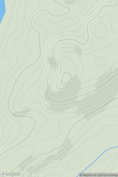
![Thumbnail image for Tor Hill [Fraserburgh to the Dee Valley] showing contour plot for surrounding peak](/static/img/mountains_img_db/11705_Tor_Hill_[Fraserburgh_to_the_Dee_Valley].png)
0
Ascents
Fraserburgh to the Dee Valley
0
217.3User Activity
No recent Activity
0
Ascents
Loch Fyne to Bute and the Firth of Clyde
0
164.0User Activity
No recent Activity