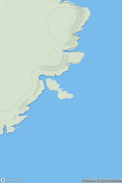
Ariel drone view of mountainous landscape with rolling clouds flowing over peak

Journal your hikes and share your adventures.

Bag peaks across the UK & Ireland, track your progress and see updates from Donder's growing community of hikers.

Donder's profile view available to users after sign-up, shows example user with progress tracking, hiking journal and user leaderboard

Thumbnail image for Mealaisbhal (Mealisval) showing contour plot for surrounding peak
SCO
Icon of location pin
574m
Icon of vertical, double ended, arrow to symbolise height of mountain

Mealaisbhal (Mealisval)

Icon of mountain used to symbolise the number of ascents made by users

0
Ascents

Thumbnail image for Dunbuy showing contour plot for surrounding peak
SCO
Icon of location pin
35m
Icon of vertical, double ended, arrow to symbolise height of mountain

Dunbuy

Icon of mountain used to symbolise the number of ascents made by users

0
Ascents

Thumbnail image for Twenty Shilling Hill showing contour plot for surrounding peak
SCO
Icon of location pin
146m
Icon of vertical, double ended, arrow to symbolise height of mountain

Twenty Shilling Hill

Icon of mountain used to symbolise the number of ascents made by users

0
Ascents

Thumbnail image for Brown Muir showing contour plot for surrounding peak
SCO
Icon of location pin
339m
Icon of vertical, double ended, arrow to symbolise height of mountain

Brown Muir

Icon of mountain used to symbolise the number of ascents made by users

0
Ascents

Thumbnail image for Creag Meadie showing contour plot for surrounding peak
SCO
Icon of location pin
221m
Icon of vertical, double ended, arrow to symbolise height of mountain

Creag Meadie

Icon of mountain used to symbolise the number of ascents made by users

0
Ascents

Thumbnail image for Foal Burn Head showing contour plot for surrounding peak
SCO
Icon of location pin
510m
Icon of vertical, double ended, arrow to symbolise height of mountain

Foal Burn Head

Icon of mountain used to symbolise the number of ascents made by users

0
Ascents