

![Thumbnail image for Meall a' Bhuirich [Loch Leven to Rannoch Station] showing contour plot for surrounding peak](/static/img/mountains_img_db/5867_Meall_a'_Bhuirich_[Loch_Leven_to_Rannoch_Station].png)


0
Ascents

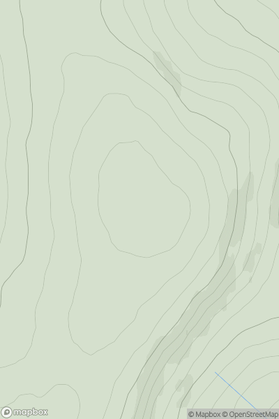
 Loch Leven to Rannoch Station
 0
0 639.7
639.7User Activity
No recent Activity
0
Ascents
Glen Albyn and the Monadh Liath
0
791.0User Activity
No recent Activity
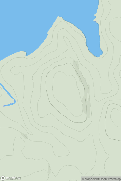
![Thumbnail image for Brown Hill [Central Scotland from Dumbarton to Montrose] showing contour plot for surrounding peak](/static/img/mountains_img_db/12827_Brown_Hill_[Central_Scotland_from_Dumbarton_to_Montrose].png)
0
Ascents
Central Scotland from Dumbarton to Montrose
0
419.0User Activity
No recent Activity
0
Ascents
Central Scotland from Dumbarton to Montrose
0
495.0User Activity
No recent Activity
0
Ascents
Central Scotland from Dumbarton to Montrose
0
456.0User Activity
No recent Activity
0
Ascents
Oban to Loch Fyne
0
71.0User Activity
No recent Activity