


0
Ascents

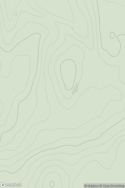
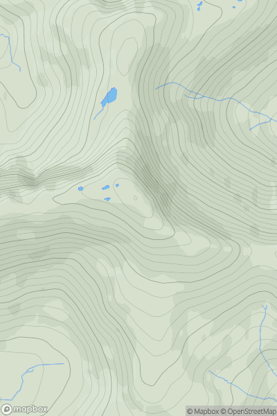
 Loch Fyne to Bute and the Firth of Clyde
 0
0 113.0
113.0User Activity
No recent Activity
0
Ascents
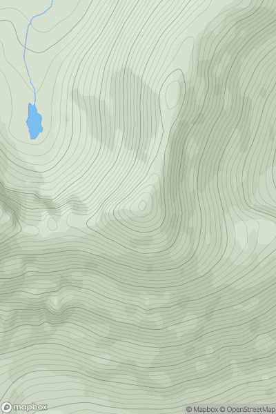
Loch Torridon to Loch Maree
0
963.0User Activity
No recent Activity
.png)
0
Ascents
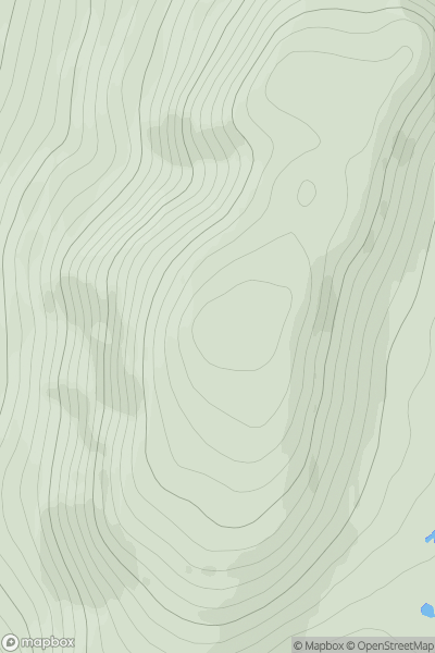
Loch Rannoch to Glen Lyon
0
1066.0User Activity
No recent Activity
0
Ascents
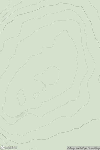
Scourie to Lairg
0
502.0User Activity
No recent Activity
0
Ascents
Carrick and Galloway
0
182.0User Activity
No recent Activity
0
Ascents
Knoydart to Glen Kingie
0
787.0User Activity
No recent Activity