


0
Ascents

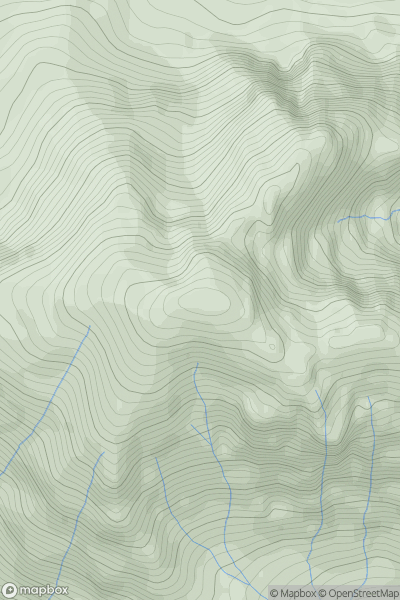
 Loch Torridon to Loch Maree
 0
0 1023.8
User Activity
No recent Activity
![Thumbnail image for Bennan Hill [Ayr to the River Clyde] showing contour plot for surrounding peak](/static/img/mountains_img_db/13357_Bennan_Hill_[Ayr_to_the_River_Clyde].png)
0
Ascents
Ayr to the River Clyde
0
288.0User Activity
No recent Activity
0
Ascents
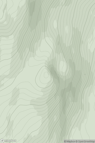
Durness to Loch Shin
0
434.0User Activity
No recent Activity
![Thumbnail image for White Hill [Braemar to Montrose] [NO401730] showing contour plot for surrounding peak](/static/img/mountains_img_db/3109_White_Hill_[Braemar_to_Montrose]_[NO401730].png)
0
Ascents
Braemar to Montrose
0
776.7User Activity
No recent Activity
![Thumbnail image for Creag nan Cuilean [Oban to Loch Fyne] showing contour plot for surrounding peak](/static/img/mountains_img_db/10744_Creag_nan_Cuilean_[Oban_to_Loch_Fyne].png)
0
Ascents
Oban to Loch Fyne
0
436.0User Activity
No recent Activity
![Thumbnail image for Court Hill [The Glenkens to Annandale] [NX816546] showing contour plot for surrounding peak](/static/img/mountains_img_db/13748_Court_Hill_[The_Glenkens_to_Annandale]_[NX816546].png)
0
Ascents
The Glenkens to Annandale
0
66.0User Activity
No recent Activity