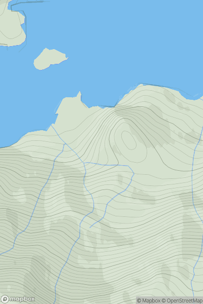
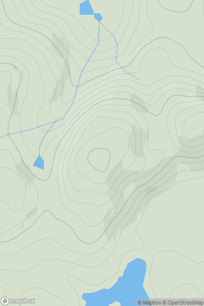
Ariel drone view of mountainous landscape with rolling clouds flowing over peak

Journal your hikes and share your adventures.

Bag peaks across the UK & Ireland, track your progress and see updates from Donder's growing community of hikers.

Donder's profile view available to users after sign-up, shows example user with progress tracking, hiking journal and user leaderboard

Thumbnail image for Creag Raonabhal showing contour plot for surrounding peak
SCO
Icon of location pin
139m
Icon of vertical, double ended, arrow to symbolise height of mountain

Creag Raonabhal

Icon of mountain used to symbolise the number of ascents made by users

0
Ascents

Thumbnail image for Hill of Gutcher showing contour plot for surrounding peak
SCO
Icon of location pin
71m
Icon of vertical, double ended, arrow to symbolise height of mountain

Hill of Gutcher

Icon of mountain used to symbolise the number of ascents made by users

0
Ascents

Thumbnail image for Billia Field showing contour plot for surrounding peak
SCO
Icon of location pin
111m
Icon of vertical, double ended, arrow to symbolise height of mountain

Billia Field

Icon of mountain used to symbolise the number of ascents made by users

0
Ascents

Thumbnail image for Meall na Greine showing contour plot for surrounding peak
SCO
Icon of location pin
607m
Icon of vertical, double ended, arrow to symbolise height of mountain

Meall na Greine

Icon of mountain used to symbolise the number of ascents made by users

0
Ascents

Thumbnail image for Lathalmond Hill showing contour plot for surrounding peak
SCO
Icon of location pin
245m
Icon of vertical, double ended, arrow to symbolise height of mountain

Lathalmond Hill

Icon of mountain used to symbolise the number of ascents made by users

0
Ascents

Thumbnail image for Meall na Targaid showing contour plot for surrounding peak
SCO
Icon of location pin
310m
Icon of vertical, double ended, arrow to symbolise height of mountain

Meall na Targaid

Icon of mountain used to symbolise the number of ascents made by users

0
Ascents