


0
Ascents

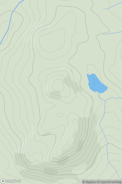
 Central Scotland from Dumbarton to Montrose
 0
0 158.0
158.0User Activity
No recent Activity
.png)
0
Ascents
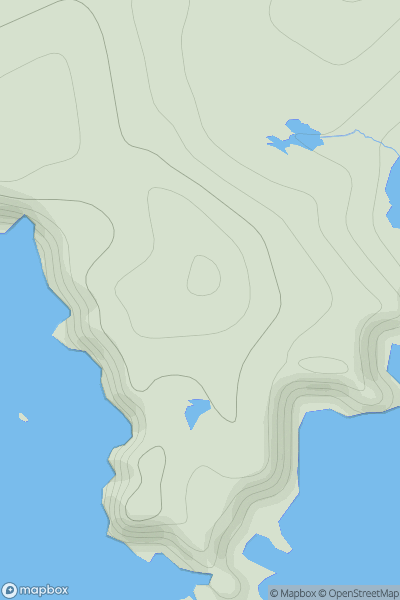
Lewis and Nearby Islands
0
497.0User Activity
No recent Activity
0
Ascents
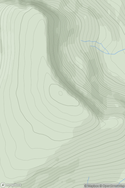
Shetland Islands
0
76.0User Activity
No recent Activity
0
Ascents
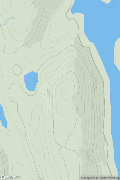
North Skye and Raasay
0
669.0User Activity
No recent Activity
0
Ascents
Lewis and Nearby Islands
0
131.0User Activity
No recent Activity
0
Ascents
Firth of Forth to the River Tweed
0
312.0User Activity
No recent Activity