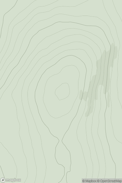
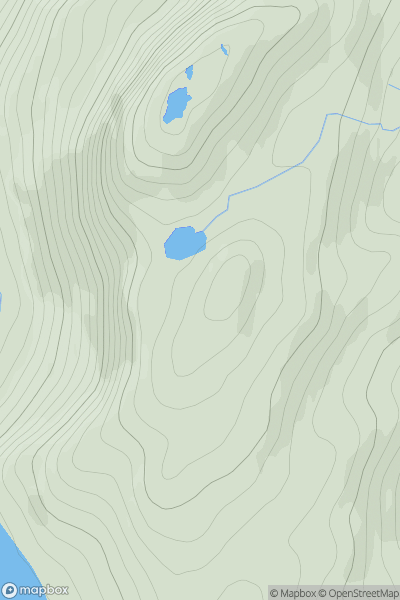
Ariel drone view of mountainous landscape with rolling clouds flowing over peak

Journal your hikes and share your adventures.

Bag peaks across the UK & Ireland, track your progress and see updates from Donder's growing community of hikers.

Donder's profile view available to users after sign-up, shows example user with progress tracking, hiking journal and user leaderboard

Thumbnail image for Gallows Hill [Carrick and Galloway] showing contour plot for surrounding peak
SCO
Icon of location pin
104m
Icon of vertical, double ended, arrow to symbolise height of mountain

Gallows Hill [Carrick and Galloway]

Icon of mountain used to symbolise the number of ascents made by users

0
Ascents

Thumbnail image for Black Hill of Mark showing contour plot for surrounding peak
SCO
Icon of location pin
774m
Icon of vertical, double ended, arrow to symbolise height of mountain

Black Hill of Mark

Icon of mountain used to symbolise the number of ascents made by users

0
Ascents

Thumbnail image for Carnan Ban East Top showing contour plot for surrounding peak
SCO
Icon of location pin
647m
Icon of vertical, double ended, arrow to symbolise height of mountain

Carnan Ban East Top

Icon of mountain used to symbolise the number of ascents made by users

0
Ascents

Thumbnail image for Stuc Gille Chonnuill showing contour plot for surrounding peak
SCO
Icon of location pin
392m
Icon of vertical, double ended, arrow to symbolise height of mountain

Stuc Gille Chonnuill

Icon of mountain used to symbolise the number of ascents made by users

0
Ascents

Thumbnail image for Houllna Gruna showing contour plot for surrounding peak
SCO
Icon of location pin
153m
Icon of vertical, double ended, arrow to symbolise height of mountain

Houllna Gruna

Icon of mountain used to symbolise the number of ascents made by users

0
Ascents

Thumbnail image for Carn a' Bhreabadair South Top showing contour plot for surrounding peak
SCO
Icon of location pin
456m
Icon of vertical, double ended, arrow to symbolise height of mountain

Carn a' Bhreabadair South Top

Icon of mountain used to symbolise the number of ascents made by users

0
Ascents