

.png)


0
Ascents

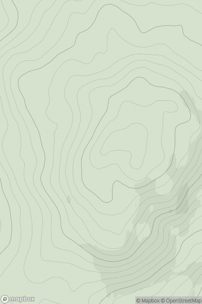
 Mull and Nearby Islands
 0
0 103.0
103.0User Activity
No recent Activity
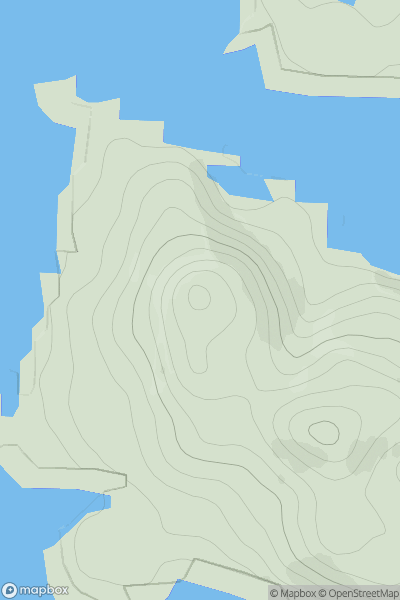
![Thumbnail image for Black Craig [Central Scotland from Dumbarton to Montrose] showing contour plot for surrounding peak](/static/img/mountains_img_db/12959_Black_Craig_[Central_Scotland_from_Dumbarton_to_Montrose].png)
0
Ascents
Central Scotland from Dumbarton to Montrose
0
203.0User Activity
No recent Activity
0
Ascents
Loch Tay to Perth
0
682.0User Activity
No recent Activity
0
Ascents
North Uist, South Uist and Nearby Islands
0
101.0User Activity
No recent Activity
0
Ascents
Loch Lochy to Loch Laggan
0
818.5User Activity
No recent Activity
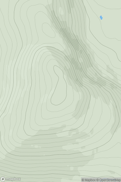
![Thumbnail image for Mid Hill [The Glenkens to Annandale] [NX776549] showing contour plot for surrounding peak](/static/img/mountains_img_db/13267_Mid_Hill_[The_Glenkens_to_Annandale]_[NX776549].png)
0
Ascents
The Glenkens to Annandale
0
345.0User Activity
No recent Activity