


0
Ascents

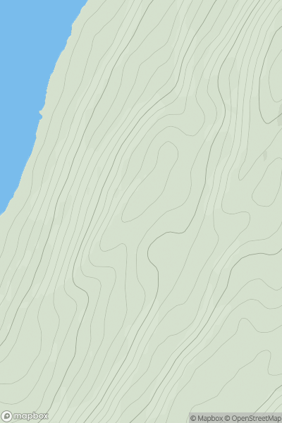
 Knapdale and Kintyre
 0
0 166.0
166.0User Activity
No recent Activity
0
Ascents
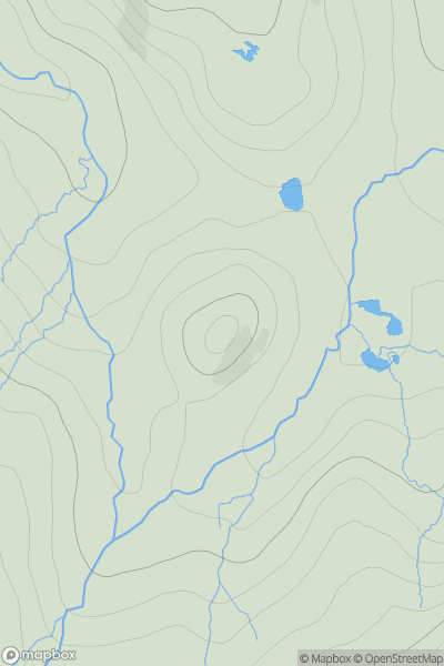
Loch Torridon to Loch Maree
0
382.0User Activity
No recent Activity
0
Ascents
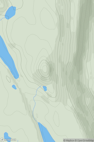
North Skye and Raasay
0
444.0User Activity
No recent Activity
0
Ascents
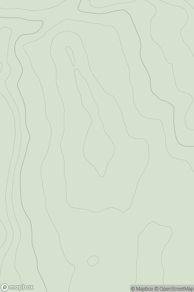
Inverness to Strathspey
0
278.0User Activity
No recent Activity
0
Ascents
The Glenkens to Annandale
0
561.0User Activity
No recent Activity
0
Ascents
The River Tweed to the English Border
0
550.0User Activity
No recent Activity