

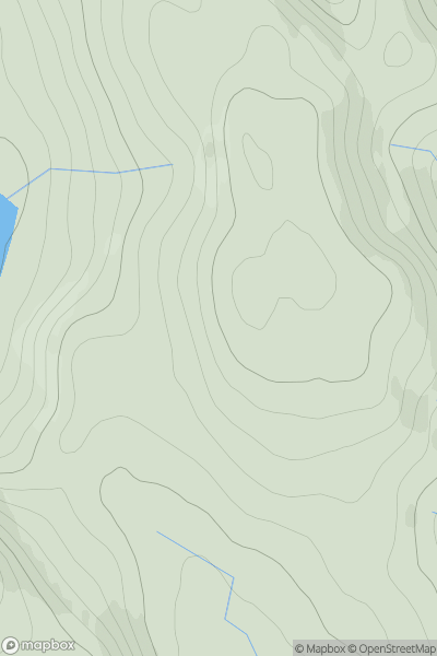
![Thumbnail image for Creach Bheinn [Loch Linnhe to Loch Etive] showing contour plot for surrounding peak](/static/img/mountains_img_db/214_Creach_Bheinn_[Loch_Linnhe_to_Loch_Etive].png)


0
Ascents

 Loch Linnhe to Loch Etive
 0
0 810.0
810.0User Activity
No recent Activity
0
Ascents
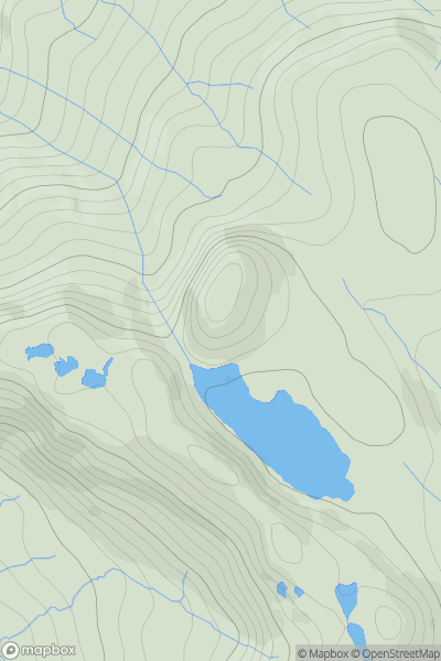
Tongue to Wick and Helmsdale
0
369.0User Activity
No recent Activity
0
Ascents
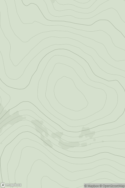
Canna, Rhum and Eigg
0
315.0User Activity
No recent Activity
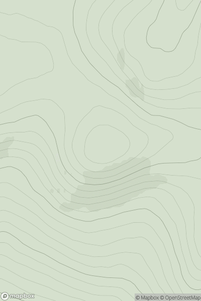
![Thumbnail image for Grange Hill [Firth of Forth to the River Tweed] showing contour plot for surrounding peak](/static/img/mountains_img_db/19047_Grange_Hill_[Firth_of_Forth_to_the_River_Tweed].png)
0
Ascents
Firth of Forth to the River Tweed
0
383.0User Activity
No recent Activity
0
Ascents
Glen Tromie to Glen Tilt
0
887.0User Activity
No recent Activity
0
Ascents
Cairngorms
0
693.1User Activity
No recent Activity