

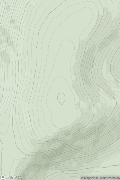
![Thumbnail image for Dubh Chreag [Loch Tay to Perth] showing contour plot for surrounding peak](/static/img/mountains_img_db/5677_Dubh_Chreag_[Loch_Tay_to_Perth].png)


0
Ascents

 Loch Tay to Perth
 0
0 538.0
538.0User Activity
No recent Activity
.png)
0
Ascents
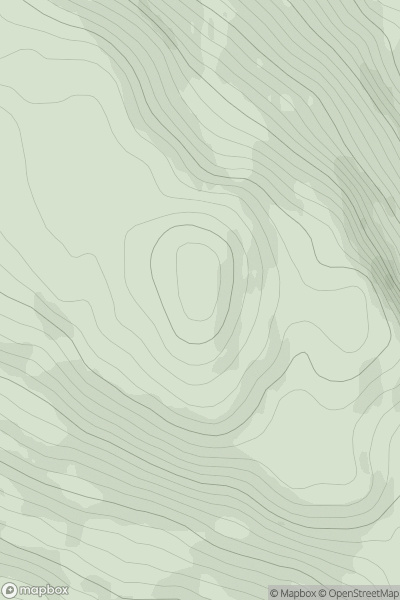
Loch Rannoch to Glen Lyon
0
365.6User Activity
No recent Activity
0
Ascents
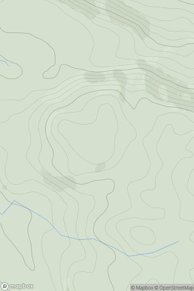
The River Tweed to the English Border
0
800.8User Activity
No recent Activity
0
Ascents
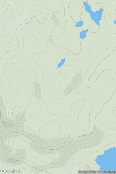
Loch Rannoch to Glen Lyon
0
420.0User Activity
No recent Activity
0
Ascents
Oban to Loch Fyne
0
236.6User Activity
No recent Activity
0
Ascents
Lochinver to Ullapool
0
150.0User Activity
No recent Activity