


0
Ascents

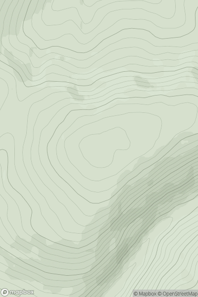
 The Glenkens to Annandale
 0
0 486.0
486.0User Activity
No recent Activity
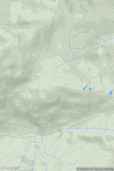
![Thumbnail image for Cnoc na Faire [Knapdale and Kintyre] showing contour plot for surrounding peak](/static/img/mountains_img_db/11208_Cnoc_na_Faire_[Knapdale_and_Kintyre].png)
0
Ascents
Knapdale and Kintyre
0
119.0User Activity
No recent Activity
0
Ascents
Knoydart to Glen Kingie
0
716.0User Activity
No recent Activity
0
Ascents
Oban to Loch Fyne
0
247.0User Activity
No recent Activity
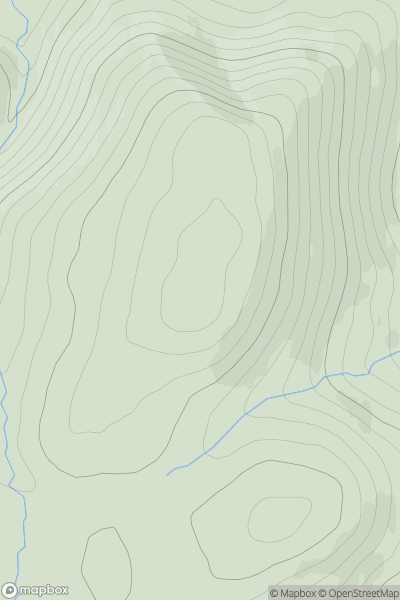
![Thumbnail image for An t-Sron [Altnaharra to Dornoch] showing contour plot for surrounding peak](/static/img/mountains_img_db/9741_An_t-Sron_[Altnaharra_to_Dornoch].png)
0
Ascents
Altnaharra to Dornoch
0
174.0User Activity
No recent Activity
0
Ascents
Braemar to Montrose
0
333.0User Activity
No recent Activity