


0
Ascents

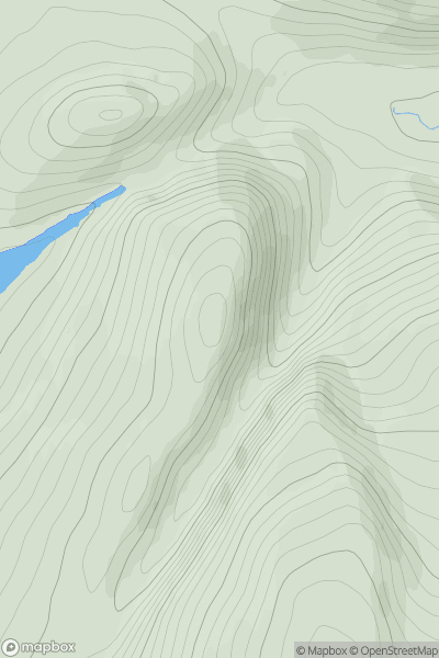
 North Skye and Raasay
 0
0 86.0
86.0User Activity
No recent Activity
0
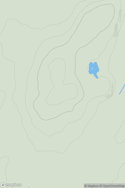
Ascents
Loch Treig to Loch Ericht
0
648.0User Activity
No recent Activity
0
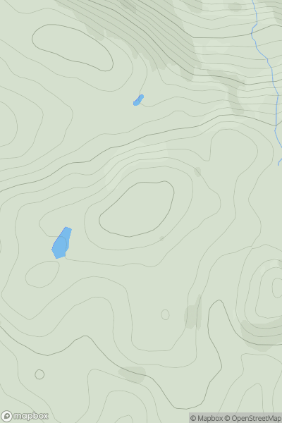
Ascents
Carrick and Galloway
0
118.0User Activity
No recent Activity
0
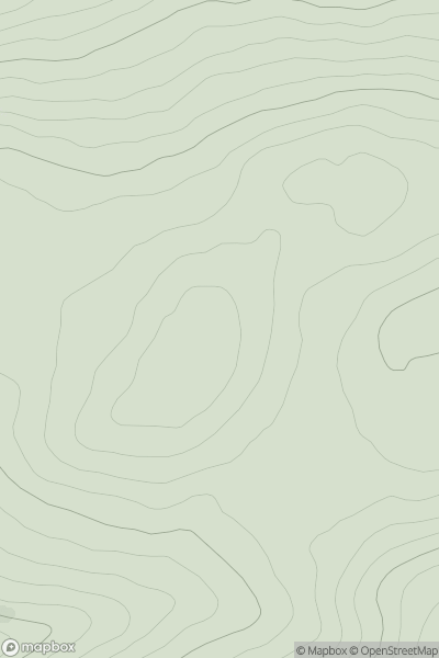
Ascents
Central Scotland from Dumbarton to Montrose
0
313.0User Activity
No recent Activity
0
Ascents
Carrick and Galloway
0
347.0User Activity
No recent Activity
0
Ascents
Firth of Forth to the River Tweed
0
513.0User Activity
No recent Activity