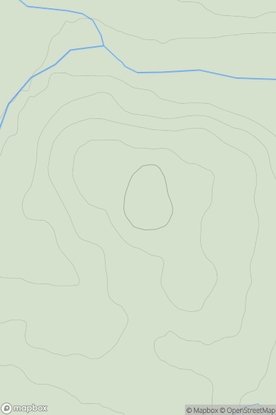
Ariel drone view of mountainous landscape with rolling clouds flowing over peak

Journal your hikes and share your adventures.

Bag peaks across the UK & Ireland, track your progress and see updates from Donder's growing community of hikers.

Donder's profile view available to users after sign-up, shows example user with progress tracking, hiking journal and user leaderboard

Thumbnail image for Carn an t-Sneachda showing contour plot for surrounding peak
SCO
Icon of location pin
263m
Icon of vertical, double ended, arrow to symbolise height of mountain

Carn an t-Sneachda

Icon of mountain used to symbolise the number of ascents made by users

0
Ascents

Thumbnail image for Hill of Wrae showing contour plot for surrounding peak
SCO
Icon of location pin
139m
Icon of vertical, double ended, arrow to symbolise height of mountain

Hill of Wrae

Icon of mountain used to symbolise the number of ascents made by users

0
Ascents

Thumbnail image for Shalloch on Minnoch showing contour plot for surrounding peak
SCO
Icon of location pin
774m
Icon of vertical, double ended, arrow to symbolise height of mountain

Shalloch on Minnoch

Icon of mountain used to symbolise the number of ascents made by users

0
Ascents

Thumbnail image for Ben Stack showing contour plot for surrounding peak
SCO
Icon of location pin
720m
Icon of vertical, double ended, arrow to symbolise height of mountain

Ben Stack

Icon of mountain used to symbolise the number of ascents made by users

0
Ascents

Thumbnail image for Botich showing contour plot for surrounding peak
SCO
Icon of location pin
536m
Icon of vertical, double ended, arrow to symbolise height of mountain

Botich

Icon of mountain used to symbolise the number of ascents made by users

0
Ascents

Thumbnail image for Cnoc a' Chlaiginn showing contour plot for surrounding peak
SCO
Icon of location pin
264m
Icon of vertical, double ended, arrow to symbolise height of mountain

Cnoc a' Chlaiginn

Icon of mountain used to symbolise the number of ascents made by users

0
Ascents