

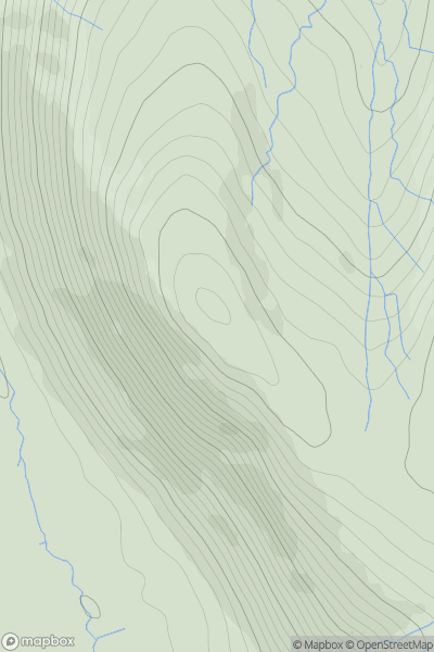
![Thumbnail image for Creag Bhreac Mhor [Loch Vaich to Moray Firth] showing contour plot for surrounding peak](/static/img/mountains_img_db/9261_Creag_Bhreac_Mhor_[Loch_Vaich_to_Moray_Firth].png)


0
Ascents

 Loch Vaich to Moray Firth
 0
0 418.0
418.0User Activity
No recent Activity
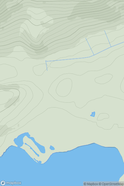
![Thumbnail image for Beinn Bheag [Loch Fyne to Bute and the Firth of Clyde] showing contour plot for surrounding peak](/static/img/mountains_img_db/1431_Beinn_Bheag_[Loch_Fyne_to_Bute_and_the_Firth_of_Clyde].png)
0
Ascents
Loch Fyne to Bute and the Firth of Clyde
0
619.8User Activity
No recent Activity
0
Ascents
Loch Ericht to Glen Tromie & Glen Garry
0
723.0User Activity
No recent Activity
0
Ascents
Kyle of Lochalsh to Garve
0
51.0User Activity
No recent Activity
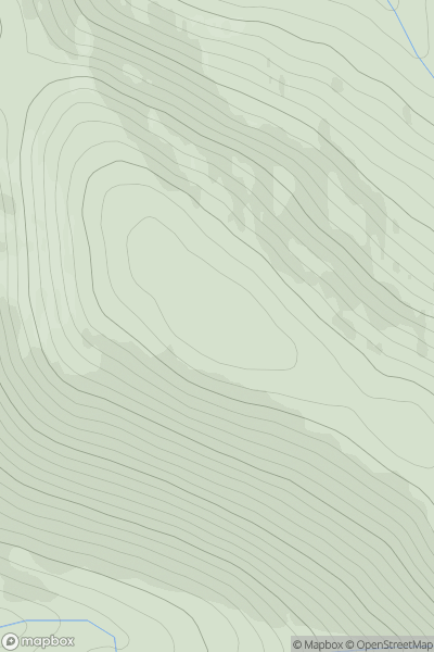
![Thumbnail image for Cioch Mhor [Loch Vaich to Moray Firth] showing contour plot for surrounding peak](/static/img/mountains_img_db/6770_Cioch_Mhor_[Loch_Vaich_to_Moray_Firth].png)
0
Ascents
Loch Vaich to Moray Firth
0
482.0User Activity
No recent Activity
0
Ascents
Cairngorms
0
783.0User Activity
No recent Activity