

![Thumbnail image for Carn a' Mhadaidh-ruaidh [Glen Affric to Glen Moriston] showing contour plot for surrounding peak](/static/img/mountains_img_db/874_Carn_a'_Mhadaidh-ruaidh_[Glen_Affric_to_Glen_Moriston].png)


0
Ascents

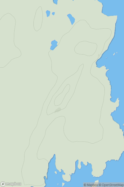
 Glen Affric to Glen Moriston
 0
0 919.2
919.2User Activity
No recent Activity
![Thumbnail image for Bank Hill [The River Tweed to the English Border] showing contour plot for surrounding peak](/static/img/mountains_img_db/14214_Bank_Hill_[The_River_Tweed_to_the_English_Border].png)
0
Ascents
The River Tweed to the English Border
0
230.0User Activity
No recent Activity
0
Ascents
Oban to Loch Fyne
0
41.0User Activity
No recent Activity
0
Ascents
Carrick and Galloway
0
786.8User Activity
No recent Activity
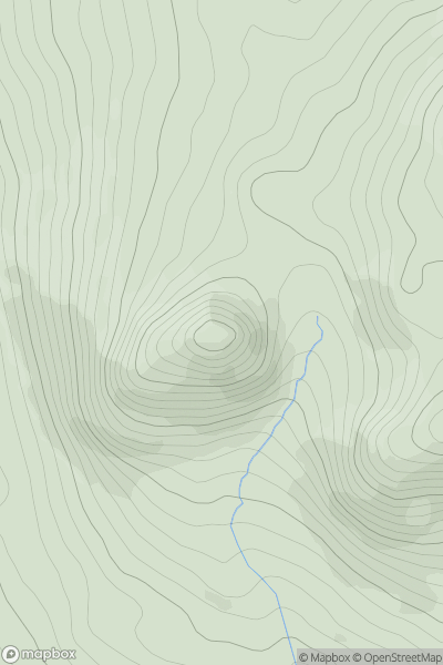
![Thumbnail image for Suie Hill [The Glenkens to Annandale] showing contour plot for surrounding peak](/static/img/mountains_img_db/13437_Suie_Hill_[The_Glenkens_to_Annandale].png)
0
Ascents
The Glenkens to Annandale
0
240.7User Activity
No recent Activity
0
Ascents
Central Scotland from Dumbarton to Montrose
0
427.0User Activity
No recent Activity