

.png)


0
Ascents

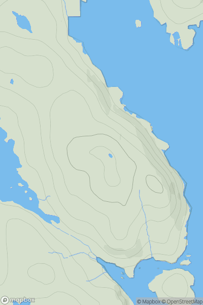
 Loch Duich to Cannich
 0
0 1151.0
User Activity
No recent Activity
0
Ascents
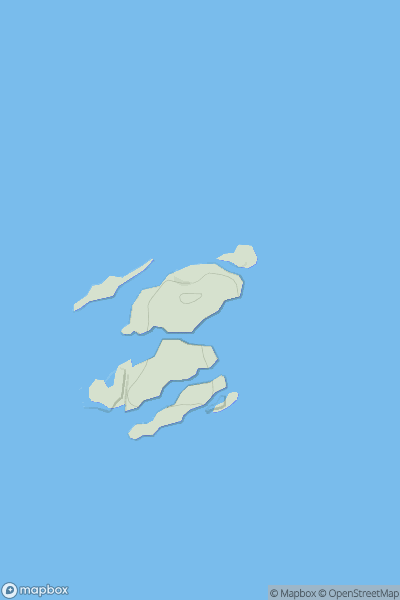
Harris and Nearby Islands
0
74.0User Activity
No recent Activity
![Thumbnail image for Broomy Law [Firth of Forth to the River Tweed] showing contour plot for surrounding peak](/static/img/mountains_img_db/1822_Broomy_Law_[Firth_of_Forth_to_the_River_Tweed].png)
0
Ascents
Firth of Forth to the River Tweed
0
426.0User Activity
No recent Activity
![Thumbnail image for Cnoc na h-Iolaire [Kyle of Lochalsh to Garve] showing contour plot for surrounding peak](/static/img/mountains_img_db/4671_Cnoc_na_h-Iolaire_[Kyle_of_Lochalsh_to_Garve].png)
0
Ascents
Kyle of Lochalsh to Garve
0
354.8User Activity
No recent Activity
0
Ascents
Lewis and Nearby Islands
0
41.0User Activity
No recent Activity
![Thumbnail image for Bank Hill [The Glenkens to Annandale] showing contour plot for surrounding peak](/static/img/mountains_img_db/5051_Bank_Hill_[The_Glenkens_to_Annandale].png)
0
Ascents
The Glenkens to Annandale
0
530.0User Activity
No recent Activity