


0
Ascents

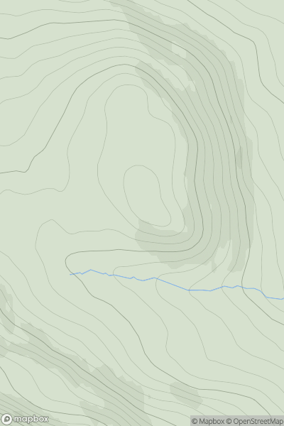
 Loch Vaich to Moray Firth
 0
0 341.0
341.0User Activity
No recent Activity
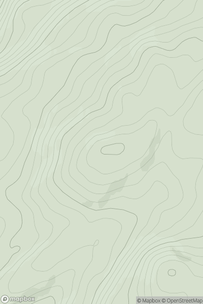
![Thumbnail image for Meall an t-Slugain [Braemar to Montrose] showing contour plot for surrounding peak](/static/img/mountains_img_db/3095_Meall_an_t-Slugain_[Braemar_to_Montrose].png)
0
Ascents
Braemar to Montrose
0
849.0User Activity
No recent Activity
.png)
0
Ascents
Barra to Barra Head
0
107.0User Activity
No recent Activity
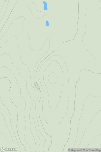
![Thumbnail image for Crow Hill [Central Scotland from Dumbarton to Montrose] showing contour plot for surrounding peak](/static/img/mountains_img_db/19721_Crow_Hill_[Central_Scotland_from_Dumbarton_to_Montrose].png)
0
Ascents
Central Scotland from Dumbarton to Montrose
0
81.6User Activity
No recent Activity
0
Ascents
Oban to Loch Fyne
0
361.0User Activity
No recent Activity
0
Ascents
The Glenkens to Annandale
0
187.0User Activity
No recent Activity