


0
Ascents

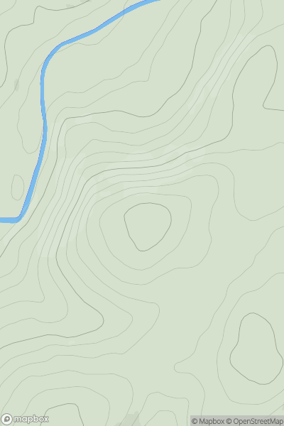
 The River Tweed to the English Border
 0
0 259.0
259.0User Activity
No recent Activity
![Thumbnail image for Tappoch [Central Scotland from Dumbarton to Montrose] showing contour plot for surrounding peak](/static/img/mountains_img_db/13051_Tappoch_[Central_Scotland_from_Dumbarton_to_Montrose].png)
0
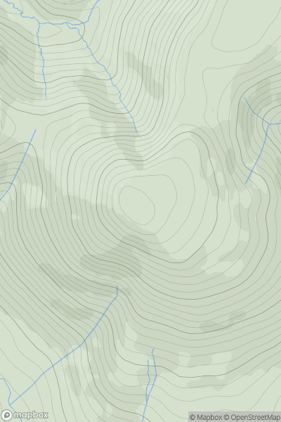
Ascents
Central Scotland from Dumbarton to Montrose
0
120.0User Activity
No recent Activity
0
Ascents
The River Tweed to the English Border
0
599.0User Activity
No recent Activity
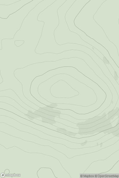
![Thumbnail image for Creag na h-Iolaire [Loch Broom to Strath Oykel] showing contour plot for surrounding peak](/static/img/mountains_img_db/6735_Creag_na_h-Iolaire_[Loch_Broom_to_Strath_Oykel].png)
0
Ascents
Loch Broom to Strath Oykel
0
298.0User Activity
No recent Activity
0
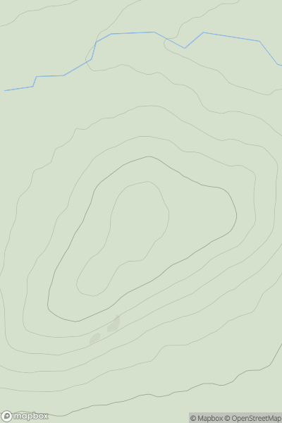
Ascents
Tomintoul to Banff
0
328.0User Activity
No recent Activity
0
Ascents
Glen Albyn and the Monadh Liath
0
721.0User Activity
No recent Activity