

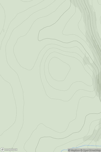
![Thumbnail image for Carn a' Bhreabadair [Glen Albyn and the Monadh Liath] showing contour plot for surrounding peak](/static/img/mountains_img_db/19753_Carn_a'_Bhreabadair_[Glen_Albyn_and_the_Monadh_Liath].png)


0
Ascents

 Glen Albyn and the Monadh Liath
 0
0 490.0
490.0User Activity
No recent Activity
0
Ascents
Tongue to Wick and Helmsdale
0
151.0User Activity
No recent Activity
0
Ascents
Oban to Loch Fyne
0
441.0User Activity
No recent Activity
0
Ascents
Loch Linnhe to Loch Etive
0
879.0User Activity
No recent Activity
0
Ascents
The Glenkens to Annandale
0
287.0User Activity
No recent Activity
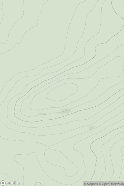
![Thumbnail image for Woodhead Hill [The Glenkens to Annandale] showing contour plot for surrounding peak](/static/img/mountains_img_db/1796_Woodhead_Hill_[The_Glenkens_to_Annandale].png)
0
Ascents
The Glenkens to Annandale
0
258.0User Activity
No recent Activity