


0
Ascents

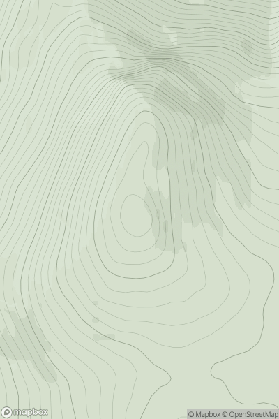
 Kyle of Lochalsh to Garve
 0
0 743.0
743.0User Activity
No recent Activity
0
Ascents
The River Tweed to the English Border
0
590.0User Activity
No recent Activity
![Thumbnail image for Beinn Bhreac West Top [Loch Arkaig to Glen Moriston] showing contour plot for surrounding peak](/static/img/mountains_img_db/8665_Beinn_Bhreac_West_Top_[Loch_Arkaig_to_Glen_Moriston].png)
0
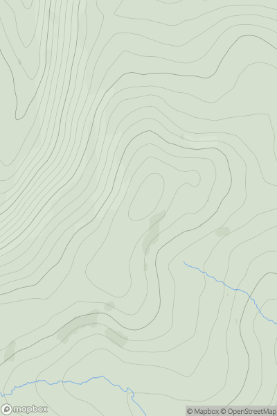
Ascents
Loch Arkaig to Glen Moriston
0
429.0User Activity
No recent Activity
0
Ascents
Lochinver to Ullapool
0
144.0User Activity
No recent Activity
![Thumbnail image for Green Law [Firth of Forth to the River Tweed] [NT126404] showing contour plot for surrounding peak](/static/img/mountains_img_db/7295_Green_Law_[Firth_of_Forth_to_the_River_Tweed]_[NT126404].png)
0
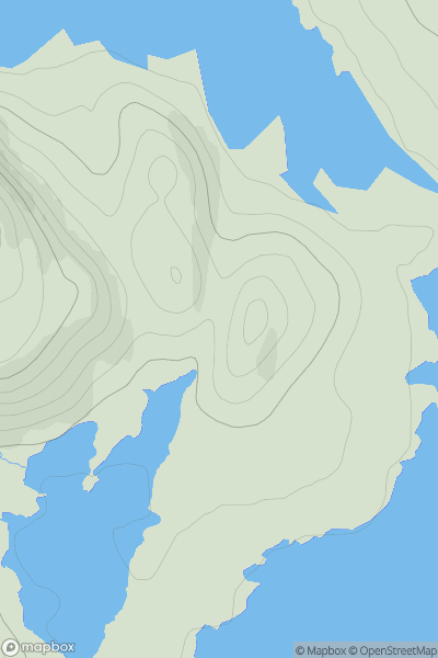
Ascents
Firth of Forth to the River Tweed
0
565.0User Activity
No recent Activity
0
Ascents
Shetland Islands
0
106.0User Activity
No recent Activity