


0
Ascents

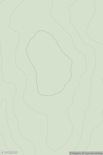
 Carrick and Galloway
 0
0 258.0
258.0User Activity
No recent Activity
0
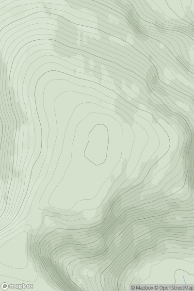
Ascents
Kyle of Lochalsh to Garve
0
1004.9User Activity
No recent Activity
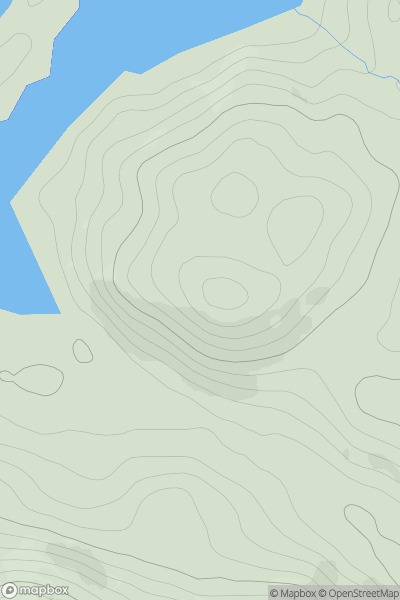
![Thumbnail image for A' Chrois [Loch Tay to Perth] showing contour plot for surrounding peak](/static/img/mountains_img_db/5664_A'_Chrois_[Loch_Tay_to_Perth].png)
0
Ascents
Loch Tay to Perth
0
570.0User Activity
No recent Activity
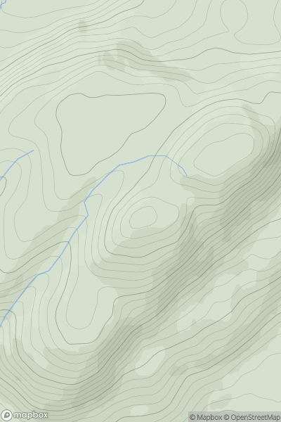
![Thumbnail image for Cruach na Seilcheig [Oban to Loch Fyne] showing contour plot for surrounding peak](/static/img/mountains_img_db/1394_Cruach_na_Seilcheig_[Oban_to_Loch_Fyne].png)
0
Ascents
Oban to Loch Fyne
0
380.0User Activity
No recent Activity
0
Ascents
Knoydart to Glen Kingie
0
304.0User Activity
No recent Activity
0
Ascents
Loch Lomond to Strathyre
0
393.8User Activity
No recent Activity