


0
Ascents

 Mallaig to Fort William
 0
0 197.0
197.0User Activity
No recent Activity
0
Ascents
Shetland Islands
0
90.0User Activity
No recent Activity
0
Ascents
Moidart and Ardnamurchan
0
877.0User Activity
No recent Activity
0
Ascents
Firth of Forth to the River Tweed
0
391.0User Activity
No recent Activity
0
Ascents
Mallaig to Fort William
0
646.9User Activity
No recent Activity
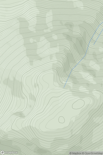
![Thumbnail image for Meall nan Each [Moidart and Ardnamurchan] showing contour plot for surrounding peak](/static/img/mountains_img_db/1343_Meall_nan_Each_[Moidart_and_Ardnamurchan].png)
0
Ascents
Moidart and Ardnamurchan
0
490.0User Activity
No recent Activity