


0
Ascents

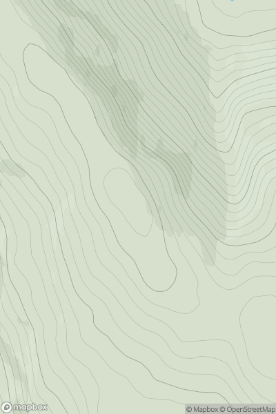
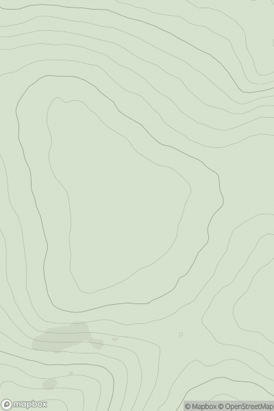
 Loch Fyne to Bute and the Firth of Clyde
 0
0 470.0
470.0User Activity
No recent Activity
0
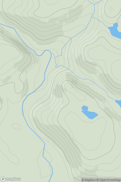
Ascents
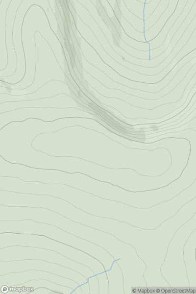
Durness to Loch Shin
0
129.0User Activity
No recent Activity
0
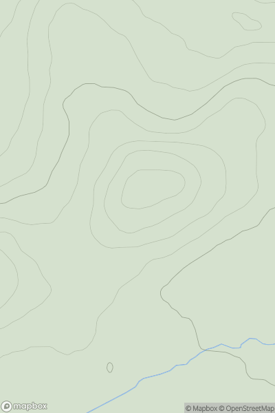
Ascents
Fraserburgh to the Dee Valley
0
197.0User Activity
No recent Activity
0
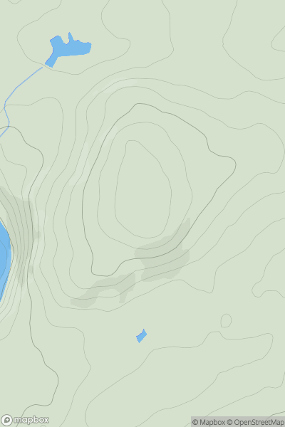
Ascents
Firth of Forth to the River Tweed
0
229.0User Activity
No recent Activity
0
Ascents
Firth of Forth to the River Tweed
0
320.0User Activity
No recent Activity
0
Ascents
Loch Tay to Perth
0
870.1User Activity
No recent Activity