


0
Ascents

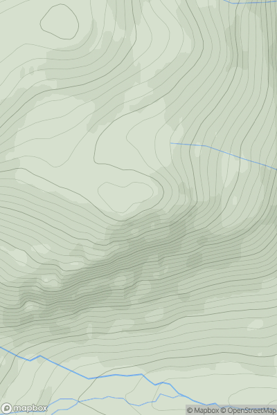
 Cairngorms
 0
0 1082.0
User Activity
No recent Activity
![Thumbnail image for Beinn Mhor [Lewis and Nearby Islands] [NB425244] showing contour plot for surrounding peak](/static/img/mountains_img_db/7101_Beinn_Mhor_[Lewis_and_Nearby_Islands]_[NB425244].png)
0
Ascents
Lewis and Nearby Islands
0
104.0User Activity
No recent Activity
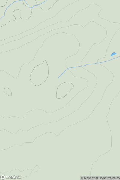
![Thumbnail image for Geal-charn Beag [Glen Albyn and the Monadh Liath] [NH828114] showing contour plot for surrounding peak](/static/img/mountains_img_db/19450_Geal-charn_Beag_[Glen_Albyn_and_the_Monadh_Liath]_[NH828114].png)
0
Ascents
Glen Albyn and the Monadh Liath
0
764.9User Activity
No recent Activity
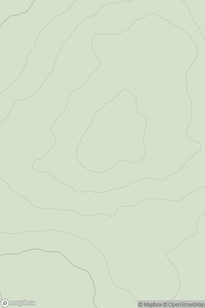
![Thumbnail image for Creag an Fhraoich [Loch Torridon to Loch Maree] showing contour plot for surrounding peak](/static/img/mountains_img_db/9003_Creag_an_Fhraoich_[Loch_Torridon_to_Loch_Maree].png)
0
Ascents
Loch Torridon to Loch Maree
0
321.0User Activity
No recent Activity
0
Ascents
Firth of Forth to the River Tweed
0
217.0User Activity
No recent Activity
0
Ascents
Fraserburgh to the Dee Valley
0
146.0User Activity
No recent Activity