


0
Ascents

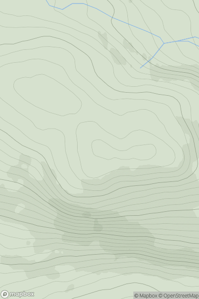
 Altnaharra to Dornoch
 0
0 397.0
397.0User Activity
No recent Activity
0
Ascents
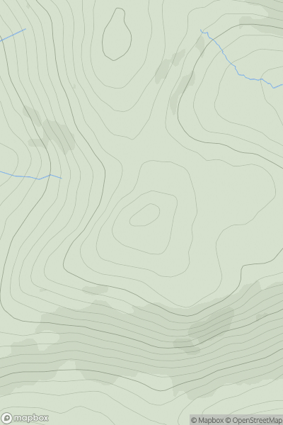
The Glenkens to Annandale
0
497.0User Activity
No recent Activity
0
Ascents
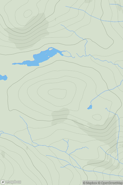
Morvern and Kingairloch
0
247.0User Activity
No recent Activity
0
Ascents
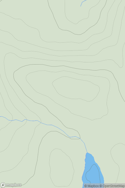
Inverness to Strathspey
0
633.0User Activity
No recent Activity
0
Ascents
Loch Rannoch to Glen Lyon
0
657.4User Activity
No recent Activity
0
Ascents
Loch Rannoch to Glen Lyon
0
503.0User Activity
No recent Activity