

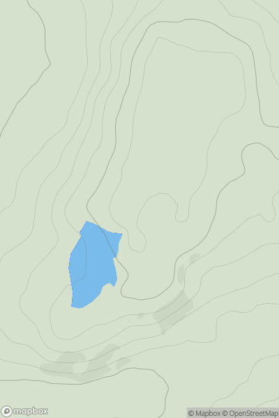
![Thumbnail image for Bell Hill [The River Tweed to the English Border] showing contour plot for surrounding peak](/static/img/mountains_img_db/14082_Bell_Hill_[The_River_Tweed_to_the_English_Border].png)


0
Ascents

 The River Tweed to the English Border
 0
0 312.0
312.0User Activity
No recent Activity
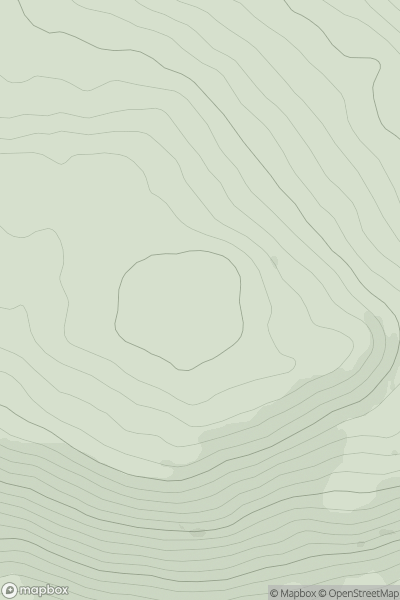
![Thumbnail image for Mid Hill [The River Tweed to the English Border] [NY420953] showing contour plot for surrounding peak](/static/img/mountains_img_db/13863_Mid_Hill_[The_River_Tweed_to_the_English_Border]_[NY420953].png)
0
Ascents
The River Tweed to the English Border
0
436.0User Activity
No recent Activity
0
Ascents
Fraserburgh to the Dee Valley
0
166.0User Activity
No recent Activity
0
Ascents
Glen Tromie to Glen Tilt
0
462.0User Activity
No recent Activity
0
Ascents
The Glenkens to Annandale
0
466.0User Activity
No recent Activity
0
Ascents
Killilan to Inverness
0
202.0User Activity
No recent Activity