


0
Ascents

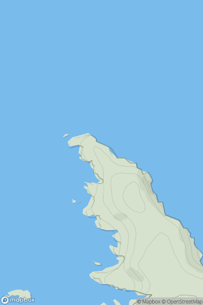
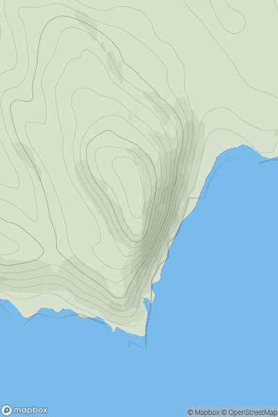
 Shetland Islands
 0
0 59.0
59.0User Activity
No recent Activity
0
Ascents
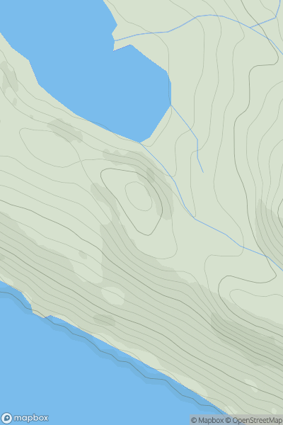
Durness to Loch Shin
0
224.0User Activity
No recent Activity
0
Ascents
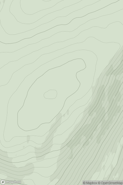
Inveraray to Crianlarich
0
465.0User Activity
No recent Activity
0
Ascents
Scourie to Lairg
0
119.0User Activity
No recent Activity
0
Ascents
Canna, Rhum and Eigg
0
138.0User Activity
No recent Activity
0
Ascents
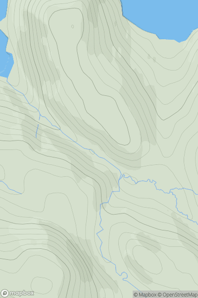
Kyle of Lochalsh to Garve
0
878.8User Activity
No recent Activity