


0
Ascents

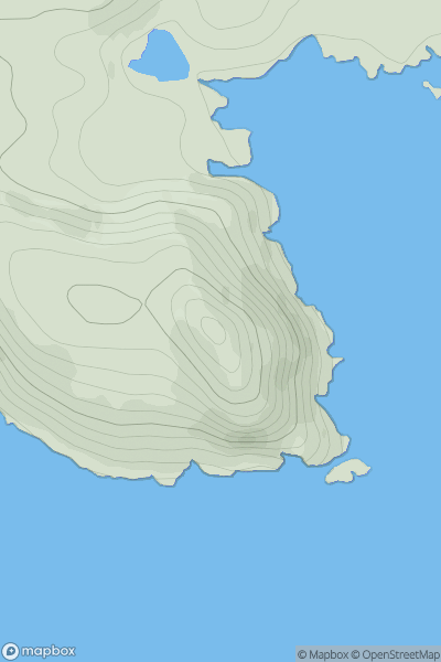
 North Uist, South Uist and Nearby Islands
 0
0 147.0
147.0User Activity
No recent Activity
0
Ascents
Shetland Islands
0
114.0User Activity
No recent Activity
0
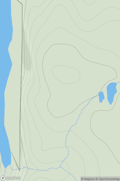
Ascents
The River Tweed to the English Border
0
229.0User Activity
No recent Activity
0
Ascents
Fraserburgh to the Dee Valley
0
194.0User Activity
No recent Activity
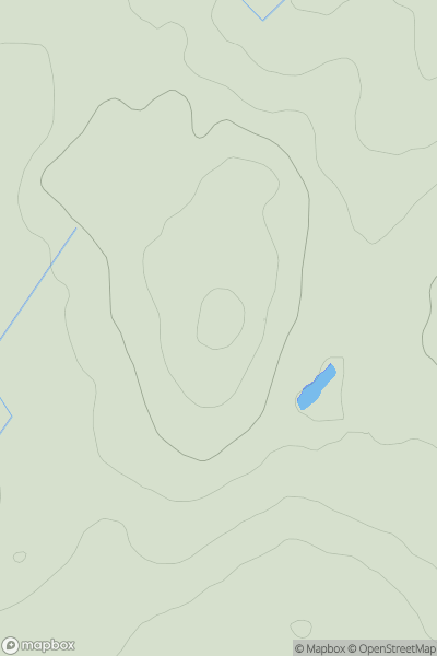
![Thumbnail image for Druim Buidhe [Loch Vaich to Moray Firth] showing contour plot for surrounding peak](/static/img/mountains_img_db/9293_Druim_Buidhe_[Loch_Vaich_to_Moray_Firth].png)
0
Ascents
Loch Vaich to Moray Firth
0
328.8User Activity
No recent Activity
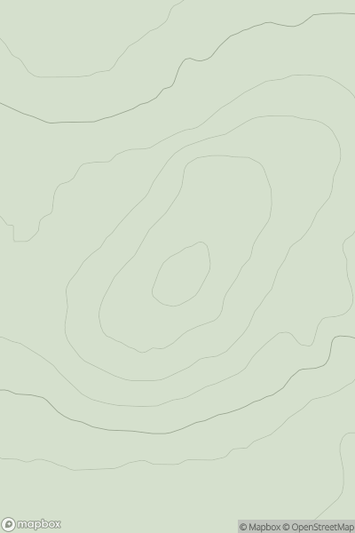
![Thumbnail image for Well Hill [The Glenkens to Annandale] [NS689071] showing contour plot for surrounding peak](/static/img/mountains_img_db/7228_Well_Hill_[The_Glenkens_to_Annandale]_[NS689071].png)
0
Ascents
The Glenkens to Annandale
0
549.0User Activity
No recent Activity