


0
Ascents

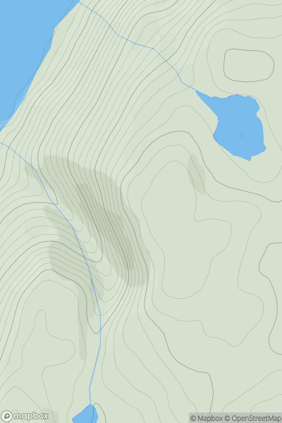
 Glen Albyn and the Monadh Liath
 0
0 285.0
285.0User Activity
No recent Activity
0
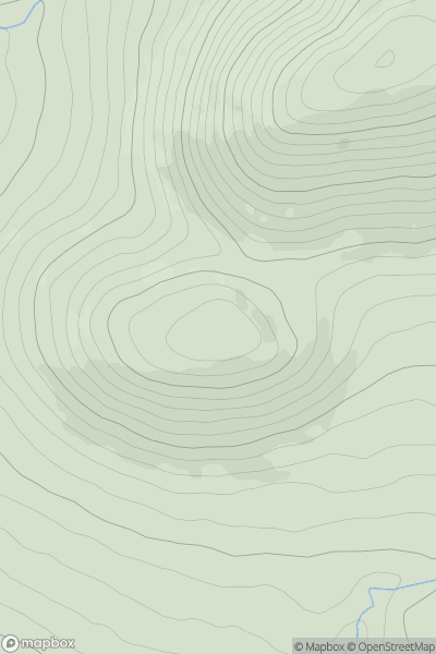
Ascents
The Glenkens to Annandale
0
430.0User Activity
No recent Activity
0
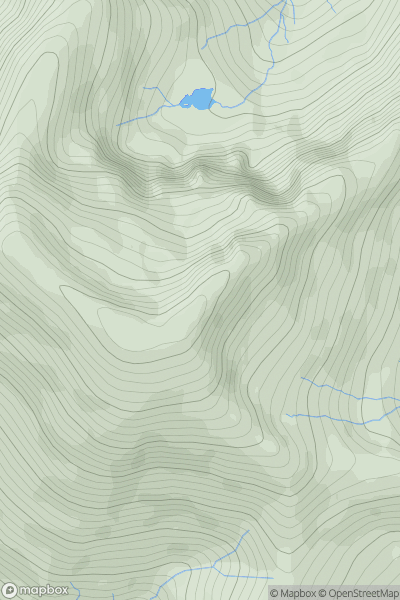
Ascents
Loch Duich to Cannich
0
1036.0User Activity
No recent Activity
0
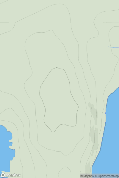
Ascents
Shetland Islands
0
62.0User Activity
No recent Activity
0
Ascents
Orkney Islands
0
100.0User Activity
No recent Activity
0
Ascents
Lewis and Nearby Islands
0
70.0User Activity
No recent Activity