


0
Ascents

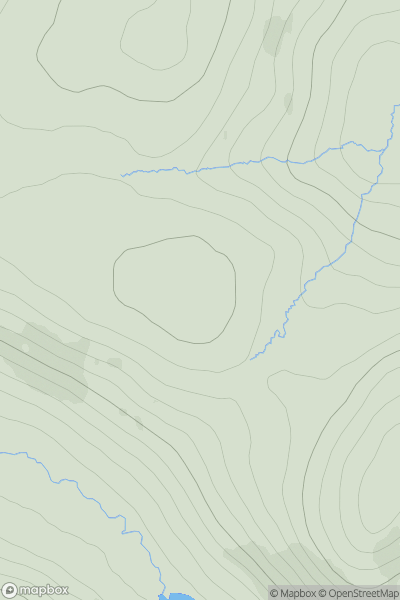
 Loch Vaich to Moray Firth
 0
0 510.0
510.0User Activity
No recent Activity
0
Ascents
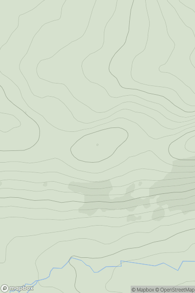
The Fannaichs
0
518.0User Activity
No recent Activity
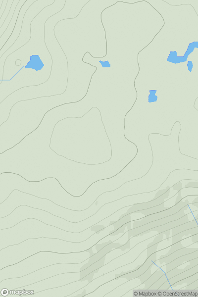
![Thumbnail image for An Stuc [Glen Lyon to Glen Dochart & Loch Tay] showing contour plot for surrounding peak](/static/img/mountains_img_db/142_An_Stuc_[Glen_Lyon_to_Glen_Dochart_&_Loch_Tay].png)
0
Ascents
Glen Lyon to Glen Dochart & Loch Tay
0
1117.1User Activity
No recent Activity
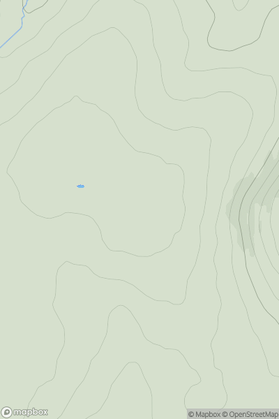
![Thumbnail image for Meall Dearg [Minginish and the Cuillin Hills] showing contour plot for surrounding peak](/static/img/mountains_img_db/10172_Meall_Dearg_[Minginish_and_the_Cuillin_Hills].png)
0
Ascents
Minginish and the Cuillin Hills
0
364.0User Activity
No recent Activity
0
Ascents
Inveraray to Crianlarich
0
523.0User Activity
No recent Activity
0
Ascents
Firth of Forth to the River Tweed
0
448.0User Activity
No recent Activity