

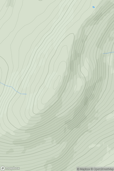
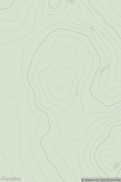
![Thumbnail image for Fell Hill [The Glenkens to Annandale] [NX721844] showing contour plot for surrounding peak](/static/img/mountains_img_db/1787_Fell_Hill_[The_Glenkens_to_Annandale]_[NX721844].png)


0
Ascents

 The Glenkens to Annandale
 0
0 417.0
417.0User Activity
No recent Activity
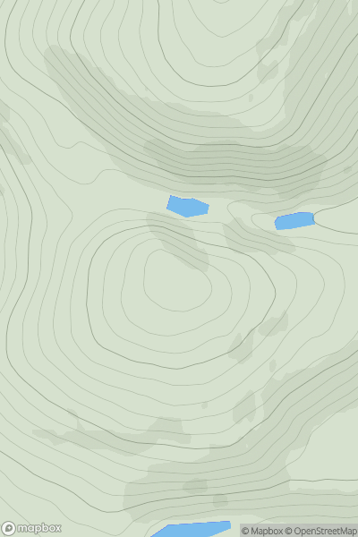
0
Ascents
Glen Albyn and the Monadh Liath
0
895.5User Activity
No recent Activity
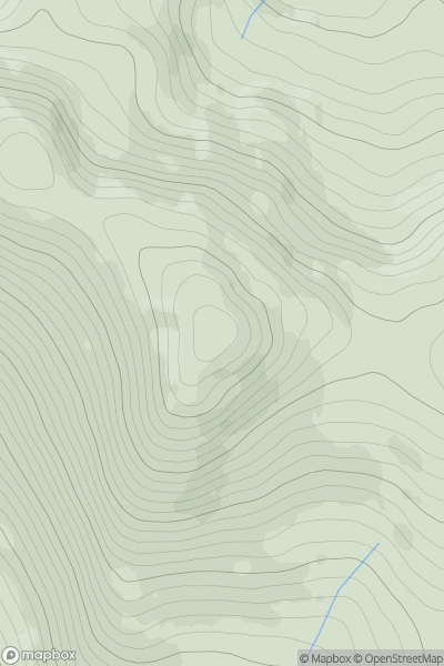
0
Ascents
Braemar to Montrose
0
396.0User Activity
No recent Activity
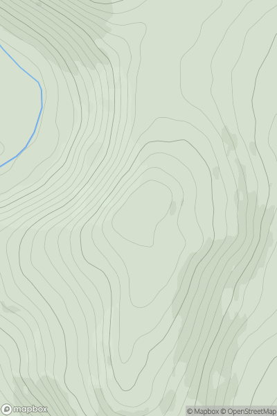
0
Ascents
Loch Rannoch to Glen Lyon
0
1043.0User Activity
No recent Activity
0
Ascents
Firth of Forth to the River Tweed
0
344.0User Activity
No recent Activity
0
Ascents
Pitlochry to Braemar & Blairgowrie
0
398.7User Activity
No recent Activity