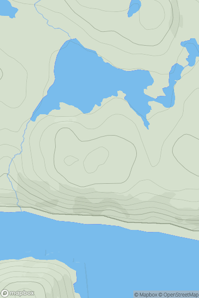
Ariel drone view of mountainous landscape with rolling clouds flowing over peak

Journal your hikes and share your adventures.

Bag peaks across the UK & Ireland, track your progress and see updates from Donder's growing community of hikers.

Donder's profile view available to users after sign-up, shows example user with progress tracking, hiking journal and user leaderboard

Thumbnail image for Round Hill [Altnaharra to Dornoch] showing contour plot for surrounding peak
SCO
Icon of location pin
258m
Icon of vertical, double ended, arrow to symbolise height of mountain

Round Hill [Altnaharra to Dornoch]

Icon of mountain used to symbolise the number of ascents made by users

0
Ascents

Thumbnail image for Meallan Liath Beag Far South Top showing contour plot for surrounding peak
SCO
Icon of location pin
515m
Icon of vertical, double ended, arrow to symbolise height of mountain

Meallan Liath Beag Far South Top

Icon of mountain used to symbolise the number of ascents made by users

0
Ascents

Thumbnail image for Ben Tuishaval showing contour plot for surrounding peak
SCO
Icon of location pin
127m
Icon of vertical, double ended, arrow to symbolise height of mountain

Ben Tuishaval

Icon of mountain used to symbolise the number of ascents made by users

0
Ascents

Thumbnail image for Meall nan Ruadhlag showing contour plot for surrounding peak
SCO
Icon of location pin
431m
Icon of vertical, double ended, arrow to symbolise height of mountain

Meall nan Ruadhlag

Icon of mountain used to symbolise the number of ascents made by users

0
Ascents

Thumbnail image for Beinn Ghuilean showing contour plot for surrounding peak
SCO
Icon of location pin
354m
Icon of vertical, double ended, arrow to symbolise height of mountain

Beinn Ghuilean

Icon of mountain used to symbolise the number of ascents made by users

0
Ascents

Thumbnail image for Cnoc an Stob showing contour plot for surrounding peak
SCO
Icon of location pin
119m
Icon of vertical, double ended, arrow to symbolise height of mountain

Cnoc an Stob

Icon of mountain used to symbolise the number of ascents made by users

0
Ascents