


0
Ascents

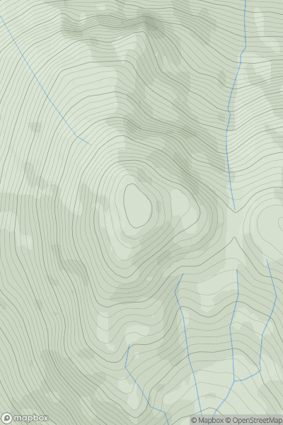
 Loch Lomond to Strathyre
 0
0 869.0
869.0User Activity
No recent Activity
0
Ascents
Kyle of Lochalsh to Garve
0
68.0User Activity
No recent Activity
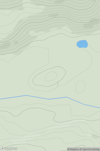
![Thumbnail image for Meallan Buidhe [Kyle of Lochalsh to Garve] showing contour plot for surrounding peak](/static/img/mountains_img_db/3237_Meallan_Buidhe_[Kyle_of_Lochalsh_to_Garve].png)
0
Ascents
Kyle of Lochalsh to Garve
0
764.4User Activity
No recent Activity
0
Ascents
Fraserburgh to the Dee Valley
0
190.0User Activity
No recent Activity
![Thumbnail image for Cock Rig [Firth of Forth to the River Tweed] [NT146541] showing contour plot for surrounding peak](/static/img/mountains_img_db/14003_Cock_Rig_[Firth_of_Forth_to_the_River_Tweed]_[NT146541].png)
0
Ascents
Firth of Forth to the River Tweed
0
355.0User Activity
No recent Activity
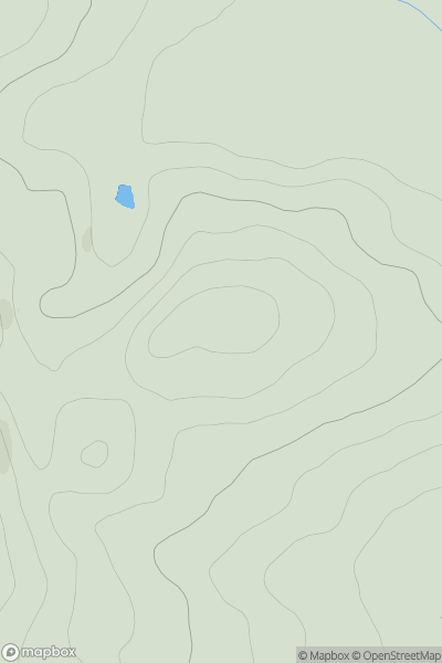
![Thumbnail image for Cnoc na h-Iolaire [Scourie to Lairg] showing contour plot for surrounding peak](/static/img/mountains_img_db/9526_Cnoc_na_h-Iolaire_[Scourie_to_Lairg].png)
0
Ascents
Scourie to Lairg
0
298.0User Activity
No recent Activity