


0
Ascents

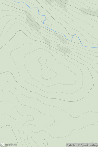
 The River Tweed to the English Border
 0
0 289.0
289.0User Activity
No recent Activity
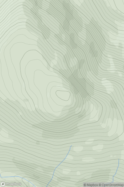
![Thumbnail image for Creagan Breaca [North Skye and Raasay] showing contour plot for surrounding peak](/static/img/mountains_img_db/10315_Creagan_Breaca_[North_Skye_and_Raasay].png)
0
Ascents
North Skye and Raasay
0
190.0User Activity
No recent Activity
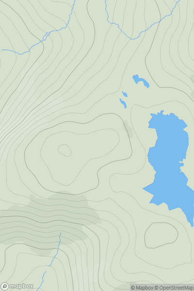
![Thumbnail image for Scar Hill [The River Tweed to the English Border] showing contour plot for surrounding peak](/static/img/mountains_img_db/7439_Scar_Hill_[The_River_Tweed_to_the_English_Border].png)
0
Ascents
The River Tweed to the English Border
0
512.0User Activity
No recent Activity
0
Ascents
Harris and Nearby Islands
0
177.0User Activity
No recent Activity
![Thumbnail image for Beinn a' Tuath [North Uist, South Uist and Nearby Islands] [NF870463] showing contour plot for surrounding peak](/static/img/mountains_img_db/4977_Beinn_a'_Tuath_[North_Uist,_South_Uist_and_Nearby_Islands]_[NF870463].png)
0
Ascents
North Uist, South Uist and Nearby Islands
0
102.0User Activity
No recent Activity
0
Ascents
Loch Fyne to Bute and the Firth of Clyde
0
611.2User Activity
No recent Activity