

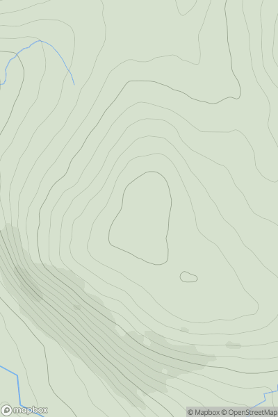
![Thumbnail image for Beinn a' Chaisteil [Loch Vaich to Moray Firth] showing contour plot for surrounding peak](/static/img/mountains_img_db/1096_Beinn_a'_Chaisteil_[Loch_Vaich_to_Moray_Firth].png)


0
Ascents

 Loch Vaich to Moray Firth
 0
0 787.0
787.0User Activity
No recent Activity
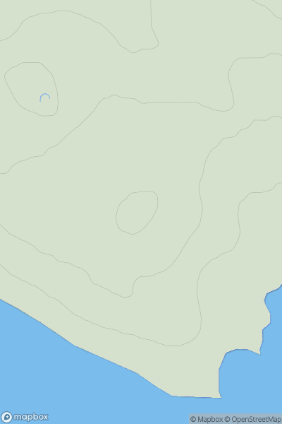
![Thumbnail image for An Cruachan [Minginish and the Cuillin Hills] showing contour plot for surrounding peak](/static/img/mountains_img_db/1273_An_Cruachan_[Minginish_and_the_Cuillin_Hills].png)
0
Ascents
Minginish and the Cuillin Hills
0
435.0User Activity
No recent Activity
0
Ascents
The Glenkens to Annandale
0
413.0User Activity
No recent Activity
0
Ascents
Orkney Islands
0
32.0User Activity
No recent Activity
0
Ascents
Jura, Scarba and Colonsay
0
34.0User Activity
No recent Activity
0
Ascents
Braemar to Montrose
0
818.4User Activity
No recent Activity