

.png)


0
Ascents

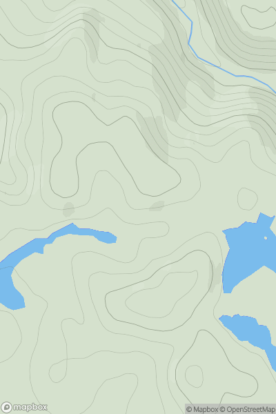
 Barra to Barra Head
 0
0 121.0
121.0User Activity
No recent Activity
0
Ascents
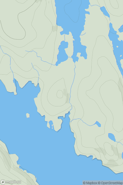
Lochinver to Ullapool
0
170.0User Activity
No recent Activity
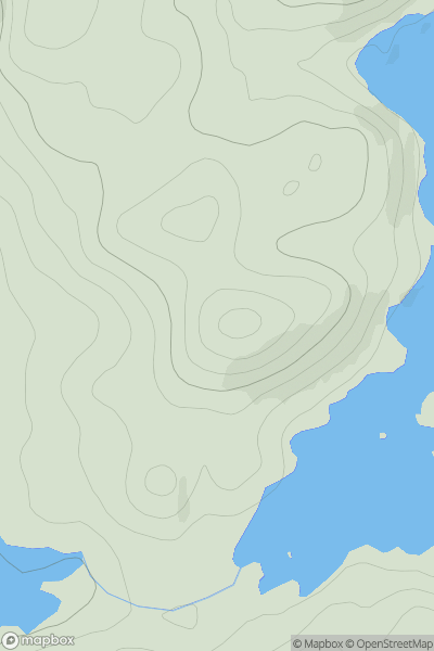
![Thumbnail image for Beinn Bhreac [Moidart and Ardnamurchan] [NM681715] showing contour plot for surrounding peak](/static/img/mountains_img_db/1348_Beinn_Bhreac_[Moidart_and_Ardnamurchan]_[NM681715].png)
0
Ascents
Moidart and Ardnamurchan
0
240.0User Activity
No recent Activity
0
Ascents
Harris and Nearby Islands
0
48.0User Activity
No recent Activity
0
Ascents
Glen Albyn and the Monadh Liath
0
292.0User Activity
No recent Activity
![Thumbnail image for Carlin Tooth [The River Tweed to the English Border] [NT630024] showing contour plot for surrounding peak](/static/img/mountains_img_db/7381_Carlin_Tooth_[The_River_Tweed_to_the_English_Border]_[NT630024].png)
0
Ascents
The River Tweed to the English Border
0
551.0User Activity
No recent Activity