


0
Ascents

 Central Scotland from Dumbarton to Montrose
 0
0 533.1
533.1User Activity
No recent Activity
![Thumbnail image for Craig More [Pitlochry to Braemar & Blairgowrie] showing contour plot for surrounding peak](/static/img/mountains_img_db/8326_Craig_More_[Pitlochry_to_Braemar_&_Blairgowrie].png)
0
Ascents
Pitlochry to Braemar & Blairgowrie
0
404.0User Activity
No recent Activity
![Thumbnail image for Creag an Fhraoich [Cape Wrath Peninsula] showing contour plot for surrounding peak](/static/img/mountains_img_db/9994_Creag_an_Fhraoich_[Cape_Wrath_Peninsula].png)
0
Ascents
Cape Wrath Peninsula
0
92.0User Activity
No recent Activity
![Thumbnail image for Beinn Chaorach [Loch Long to Loch Lomond] showing contour plot for surrounding peak](/static/img/mountains_img_db/94_Beinn_Chaorach_[Loch_Long_to_Loch_Lomond].png)
0
Ascents
Loch Long to Loch Lomond
0
713.0User Activity
No recent Activity
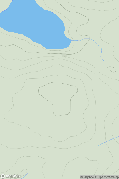
![Thumbnail image for Core Hill [Central Scotland from Dumbarton to Montrose] showing contour plot for surrounding peak](/static/img/mountains_img_db/4986_Core_Hill_[Central_Scotland_from_Dumbarton_to_Montrose].png)
0
Ascents
Central Scotland from Dumbarton to Montrose
0
542.0User Activity
No recent Activity
0
Ascents
Knapdale and Kintyre
0
203.0User Activity
No recent Activity