

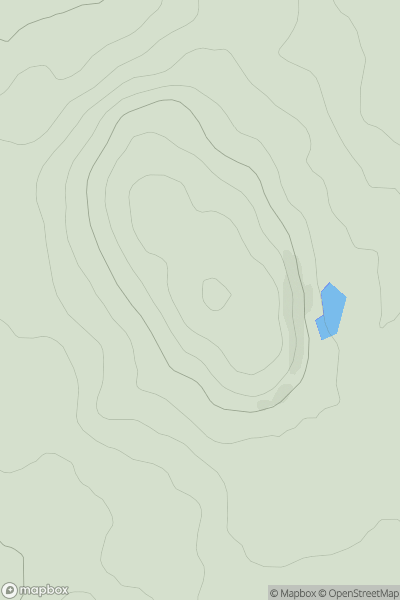
![Thumbnail image for Binnein Mor [Loch Fyne to Bute and the Firth of Clyde] showing contour plot for surrounding peak](/static/img/mountains_img_db/19036_Binnein_Mor_[Loch_Fyne_to_Bute_and_the_Firth_of_Clyde].png)


0
Ascents

 Loch Fyne to Bute and the Firth of Clyde
 0
0 350.0
350.0User Activity
No recent Activity
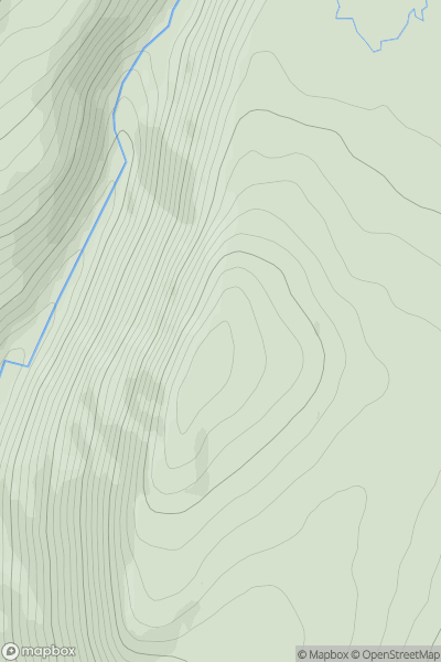
![Thumbnail image for Capel Hill [Pitlochry to Braemar & Blairgowrie] showing contour plot for surrounding peak](/static/img/mountains_img_db/6045_Capel_Hill_[Pitlochry_to_Braemar_&_Blairgowrie].png)
0
Ascents
Pitlochry to Braemar & Blairgowrie
0
510.0User Activity
No recent Activity
.png)
0
Ascents
The River Tweed to the English Border
0
402.0User Activity
No recent Activity
0
Ascents
Carrick and Galloway
0
137.0User Activity
No recent Activity
0
Ascents
Glen Albyn and the Monadh Liath
0
795.0User Activity
No recent Activity
0
Ascents
Lochinver to Ullapool
0
302.0User Activity
No recent Activity