


0
Ascents

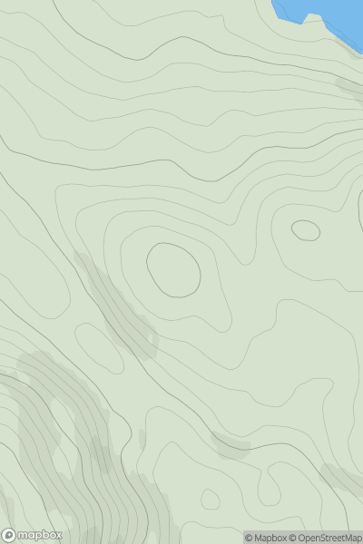
 Loch Lomond to Strathyre
 0
0 265.0
265.0User Activity
No recent Activity
0
Ascents
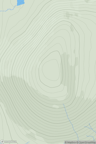
Lewis and Nearby Islands
0
424.0User Activity
No recent Activity
0
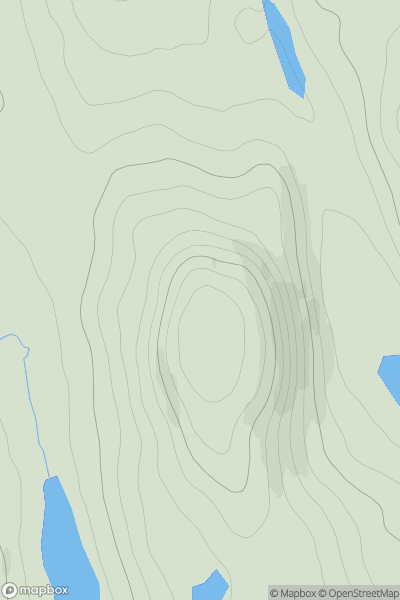
Ascents
Lewis and Nearby Islands
0
137.0User Activity
No recent Activity
0
Ascents
Central Scotland from Dumbarton to Montrose
0
242.6User Activity
No recent Activity
0
Ascents
North Uist, South Uist and Nearby Islands
0
39.0User Activity
No recent Activity
0
Ascents
Applecross to Achnasheen
0
686.8User Activity
No recent Activity