

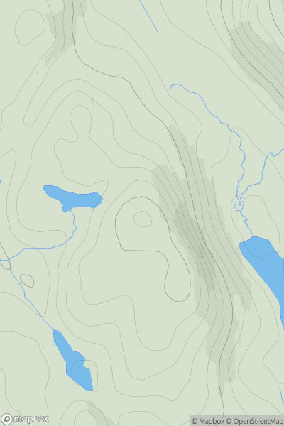
![Thumbnail image for Lingeigh [Barra to Barra Head] showing contour plot for surrounding peak](/static/img/mountains_img_db/12571_Lingeigh_[Barra_to_Barra_Head].png)


0
Ascents

 Barra to Barra Head
 0
0 83.0
83.0User Activity
No recent Activity
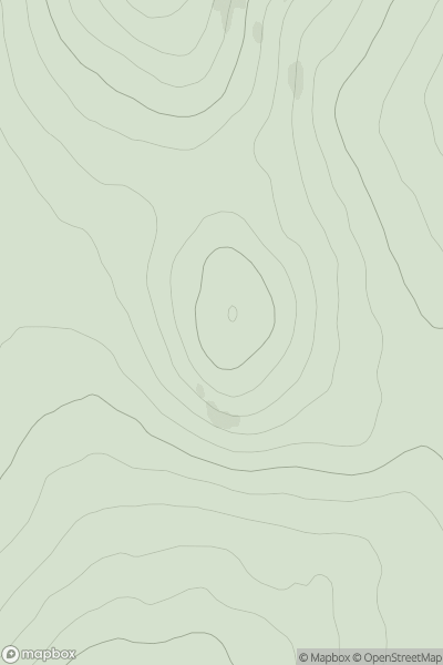
![Thumbnail image for Carn Odhar [Cairngorms] showing contour plot for surrounding peak](/static/img/mountains_img_db/4153_Carn_Odhar_[Cairngorms].png)
0
Ascents
Cairngorms
0
734.0User Activity
No recent Activity
0
Ascents
Durness to Loch Shin
0
171.0User Activity
No recent Activity
![Thumbnail image for Cam Chreag [Loch Rannoch to Glen Lyon] showing contour plot for surrounding peak](/static/img/mountains_img_db/132_Cam_Chreag_[Loch_Rannoch_to_Glen_Lyon].png)
0
Ascents
Loch Rannoch to Glen Lyon
0
862.0User Activity
No recent Activity
.png)
0
Ascents
Shetland Islands
0
53.0User Activity
No recent Activity
0
Ascents
Inverness to Strathspey
0
417.0User Activity
No recent Activity