

![Thumbnail image for Cruach nam Fiadh [Knapdale and Kintyre] [NR821566] showing contour plot for surrounding peak](/static/img/mountains_img_db/10923_Cruach_nam_Fiadh_[Knapdale_and_Kintyre]_[NR821566].png)


0
Ascents

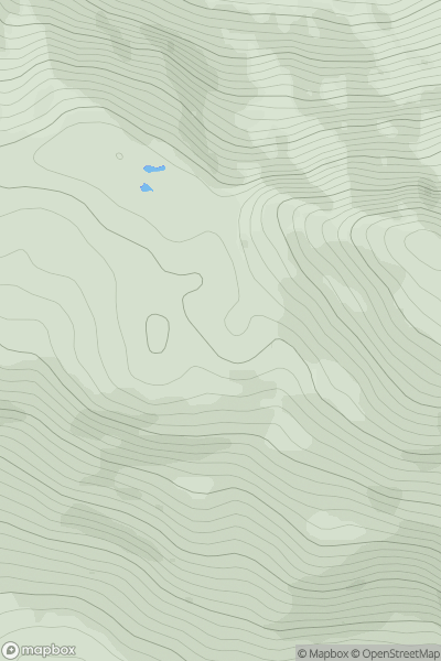
 Knapdale and Kintyre
 0
0 270.0
270.0User Activity
No recent Activity
0
Ascents
Mallaig to Fort William
0
623.0User Activity
No recent Activity
![Thumbnail image for Carn Dearg [Glen Albyn and the Monadh Liath] [NH635023] showing contour plot for surrounding peak](/static/img/mountains_img_db/621_Carn_Dearg_[Glen_Albyn_and_the_Monadh_Liath]_[NH635023].png)
0
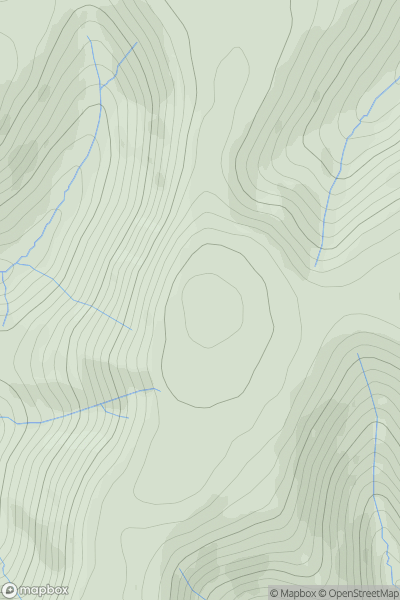
Ascents
Glen Albyn and the Monadh Liath
0
945.7User Activity
No recent Activity
0
Ascents
The River Tweed to the English Border
0
567.0User Activity
No recent Activity
0
Ascents
Braemar to Montrose
0
577.0User Activity
No recent Activity
0
Ascents
Morvern and Kingairloch
0
437.0User Activity
No recent Activity