


0
Ascents

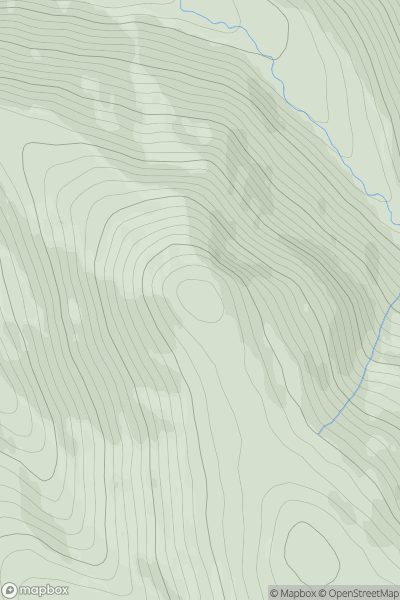
 The River Tweed to the English Border
 0
0 691.6
691.6User Activity
No recent Activity
0
Ascents
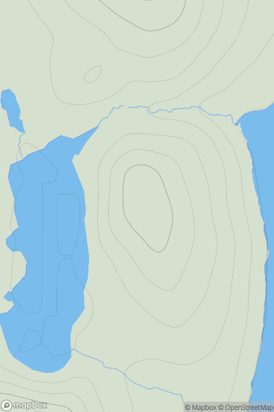
Shetland Islands
0
66.0User Activity
No recent Activity
0
Ascents
Loch Vaich to Moray Firth
0
397.0User Activity
No recent Activity
0
Ascents
Loch Arkaig to Glen Moriston
0
229.0User Activity
No recent Activity
0
Ascents
Mallaig to Fort William
0
501.0User Activity
No recent Activity
0
Ascents
Inverness to Strathspey
0
431.0User Activity
No recent Activity