


0
Ascents

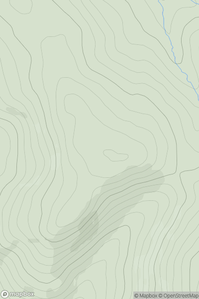
 The River Tweed to the English Border
 0
0 344.0
344.0User Activity
No recent Activity
0
Ascents
Glen Albyn and the Monadh Liath
0
469.0User Activity
No recent Activity

0
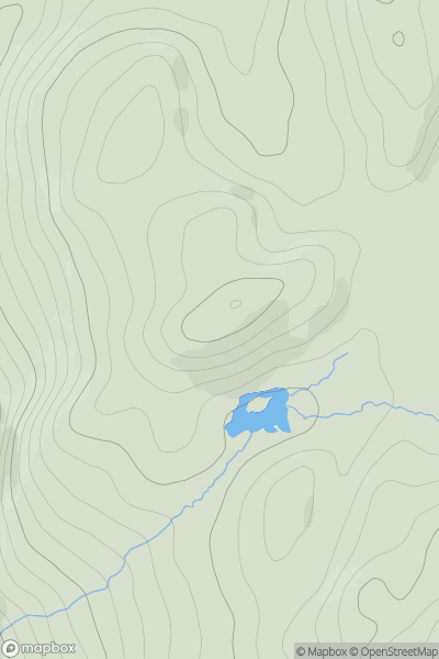
Ascents
The Glenkens to Annandale
0
645.0User Activity
No recent Activity
0
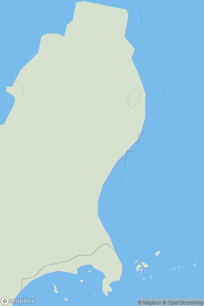
Ascents
North Uist, South Uist and Nearby Islands
0
14.0User Activity
No recent Activity
0
Ascents
Jura, Scarba and Colonsay
0
135.0User Activity
No recent Activity
0
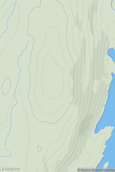
Ascents
Loch Vaich to Moray Firth
0
763.0User Activity
No recent Activity