


0
Ascents

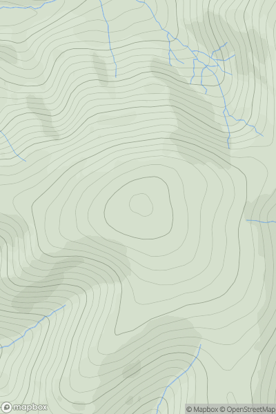
 The River Tweed to the English Border
 0
0 564.0
564.0User Activity
No recent Activity
0
Ascents
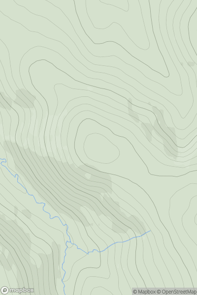
The Glenkens to Annandale
0
523.0User Activity
No recent Activity
0
Ascents
The River Tweed to the English Border
0
267.8User Activity
No recent Activity
0
Ascents
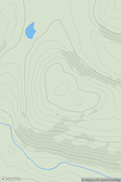
Glen Albyn and the Monadh Liath
0
868.4User Activity
No recent Activity
0
Ascents
The Glenkens to Annandale
0
73.0User Activity
No recent Activity
0
Ascents
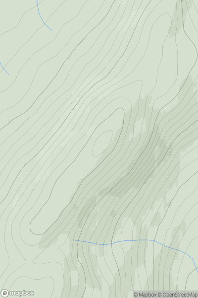
Central Scotland from Dumbarton to Montrose
0
333.0User Activity
No recent Activity