


0
Ascents

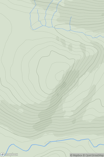
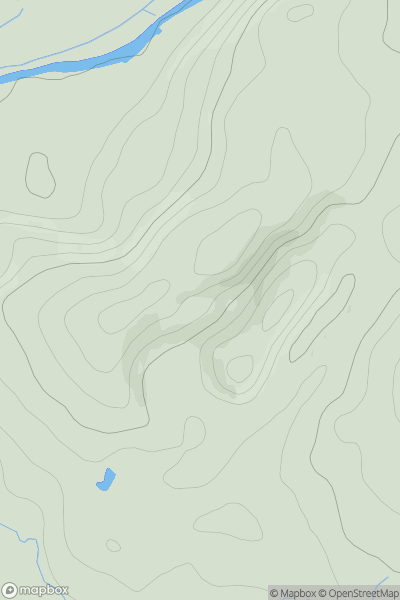
 Fort William to Loch Treig & Loch Leven
 0
0 533.0
533.0User Activity
No recent Activity
0
Ascents
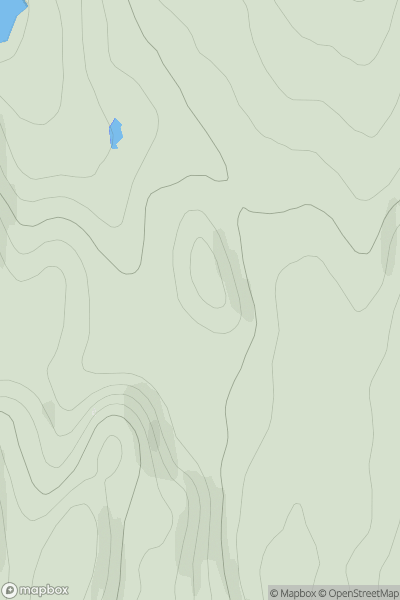
Durness to Loch Shin
0
90.0User Activity
No recent Activity
0
Ascents
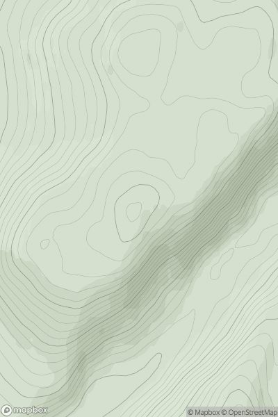
Glen Albyn and the Monadh Liath
0
519.0User Activity
No recent Activity
0
Ascents
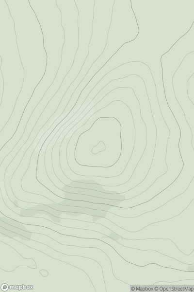
The Glenkens to Annandale
0
414.0User Activity
No recent Activity
0
Ascents
Firth of Forth to the River Tweed
0
147.0User Activity
No recent Activity
0
Ascents
Tomintoul to Banff
0
249.3User Activity
No recent Activity